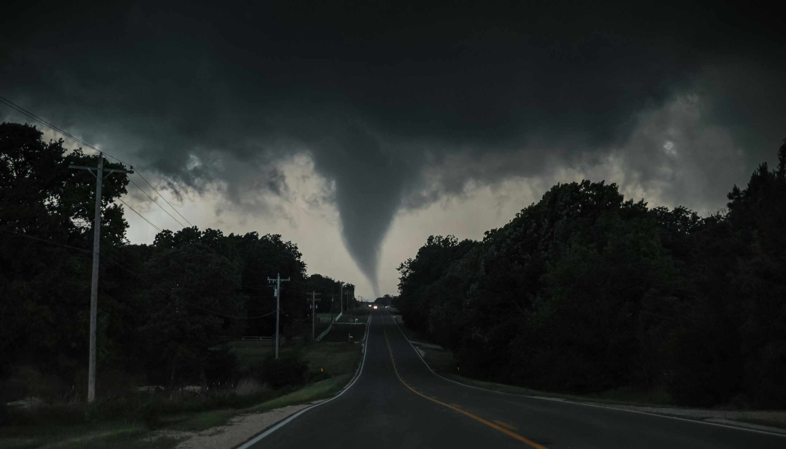
Photo by Greg Johnson on Unsplash
The tornado watch eastern Iowa July 2026 alert remains active through 10 p.m. Monday, July 20.
The National Weather Service issued the watch after storms developed across Northeast Iowa. Forecasters said the atmosphere recovered after morning storms, creating conditions that could support additional severe weather.
The strongest storms could bring large hail, damaging winds, and a few tornadoes. Residents across Eastern Iowa should stay alert and prepare before conditions worsen.
A Tornado Watch means weather conditions could produce tornadoes and severe thunderstorms. It does not mean a tornado is already happening.
A Tornado Warning carries a different meaning. Officials issue a warning when radar detects rotation or when someone reports a tornado.
During a watch, residents should prepare by identifying shelter areas, charging devices, and gathering emergency supplies. They should also use multiple ways to receive weather alerts because conditions can change quickly.
Storms threaten Eastern Iowa through the evening
Storms are moving from northwest to southeast across Eastern Iowa.
The region experienced morning storms, but daytime heating helped rebuild instability. As a result, forecasters expect another round of stronger storms during the afternoon and evening.
The combination of heat, humidity, and leftover moisture creates favorable conditions for severe thunderstorms.
Large hail remains one of the biggest concerns. Severe storms could damage vehicles, windows, roofs, crops, and outdoor equipment.
Damaging winds also pose a serious threat. Strong wind gusts can knock down trees, damage buildings, and cause power outages even without tornado activity.
Residents should take the entire severe weather threat seriously and not focus only on tornado risks.
How to stay safe during the tornado watch
Weather awareness remains important while the tornado watch continues.
The National Weather Service provides official watches, warnings, and updates through its website and mobile app. Wireless Emergency Alerts can also notify residents when a Tornado Warning affects their location.
Additionally, NOAA Weather Radio remains a reliable option during severe weather. It can provide updates even when internet service or phone signals become unreliable.
Residents should keep at least two warning methods available during the tornado watch eastern Iowa July 2026 period.
Knowing where to take shelter before a warning arrives can also save valuable time.
The safest location during a tornado is an interior room on the lowest floor of a sturdy building. Residents should stay away from windows and avoid waiting until the last minute to find protection.
Mobile homes and vehicles offer little protection during tornadoes. Anyone living in those situations should plan ahead and identify a stronger shelter nearby.
Bringing pets indoors and protecting vehicles from hail can also reduce potential damage.
Iowa faces active summer weather pattern
The tornado watch comes during a week of unsettled weather across Iowa and surrounding areas.
Eastern Iowa has also experienced air quality concerns caused by wildfire smoke drifting from Canada and Minnesota.
Meanwhile, hot and humid conditions have increased the energy available for severe storms. Forecasters continue monitoring the region as additional weather threats could develop.
The current tornado watch is part of a larger summer weather pattern affecting the area.
CBS2 Iowa meteorologists and storm trackers continue providing updates as conditions change.
Residents should check forecasts before evening activities and remain prepared to move quickly if officials issue a Tornado Warning.
The safest approach tonight is simple: stay informed, know your shelter location, and take every warning seriously.
Source: National Weather Service and CBS2 Iowa weather coverage
About the Author