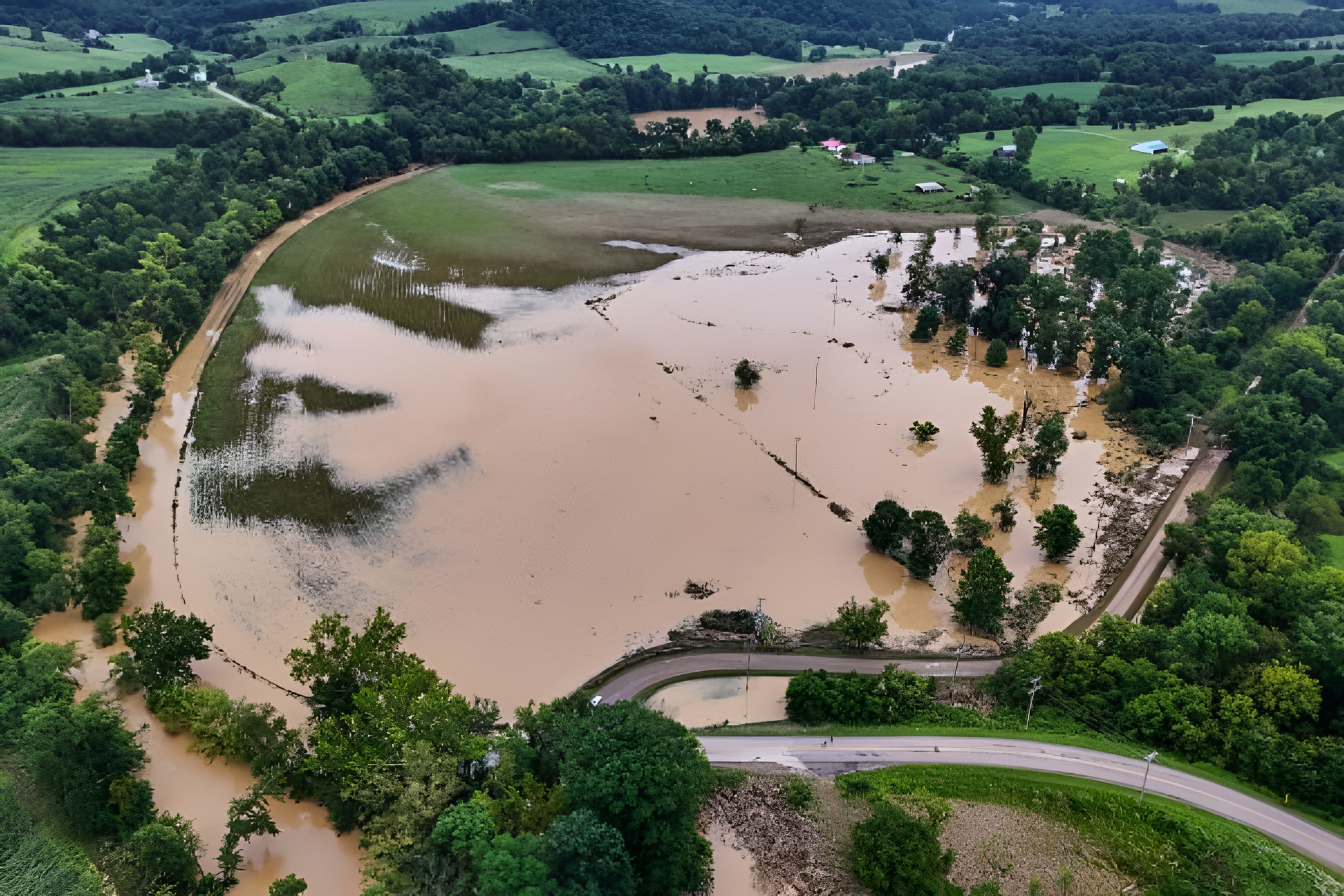
Photo credit: Indiana flooding (X)
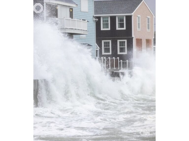
A relentless stretch of severe weather kept hammering the Midwest on Friday, extending a six day stretch of storms across communities still recovering from catastrophic flooding. Indiana and Ohio took the brunt of the latest rounds. Swollen rivers, overwhelmed infrastructure and thousands of displaced residents define a situation that shows no sign of easing soon.
The storms followed a powerful derecho that tore through the region earlier in the week. That windstorm set the stage for the flooding now spreading across multiple states. More than 300,000 homes and businesses remained without power across the Midwest and Ohio Valley heading into Friday, with one northern Indiana utility reporting its most widespread outage in company history.
How bad the flooding has become in Indiana
Indiana has absorbed some of the most extreme rainfall totals of the event. Parts of the state recorded what meteorologists describe as a one in one thousand year precipitation event. That kind of rainfall overwhelmed rivers, drainage systems and response capacity all at once.
The White River in Anderson crested above 24 feet, a level not seen in more than a century, sending water several feet deep into residential and commercial areas across the city’s northern sections. Officials ordered evacuations in Anderson and nearby Muncie, where conditions grew bad enough that rescuers navigated flooded streets by motorized boat. The Whitewater River at Brookville also rose quickly to moderate flood stage, prompting downstream evacuation warnings in parts of Harrison, Ohio.
Indiana’s governor declared a statewide disaster and activated the National Guard to support rescue and relief operations. First responders carried out water rescues across Delaware, Madison, Wayne and Henry counties, working around the clock as more rain fell on already saturated ground.
At least two people have died. A four year old boy in southeastern Indiana was killed Tuesday after a tree fell on a house during the initial storms. A second person died in Portage, Indiana, in an apparent house fire linked to the derecho. Authorities in Delaware County were also searching for a missing 18 year old last seen jumping into a river Wednesday evening.
What residents are facing on the ground
The toll is visible across neighborhoods and town centers in eastern Indiana. In Cambridge City, families left their homes with little more than the clothes they were wearing as water poured in without warning. In Metamora, numerous businesses sat submerged as owners waited for the water to recede before they could assess what they had lost.
More than 300 animals were evacuated from a flooded shelter in Madison County. In Yorktown, drone footage showed houses, vehicles and entire roads submerged in muddy water. A county in eastern Kentucky also received the highest level of flood warning available, with residents urged to move to higher ground right away.
What the weekend forecast looks like
The region faces continued risk through the weekend. Iowa and northwestern Illinois face the greatest flood threat on Friday, with forecasters warning that some already battered communities could see more than eight inches of additional rain in isolated spots. Saturated soil combined with swollen waterways means even modest rain totals could trigger new flooding quickly.
Relief is expected by Sunday, when forecast models suggest the storm pattern will finally shift away from the hardest hit areas. Until then, officials across Indiana, Ohio, Illinois and neighboring states are urging residents to avoid flooded roads, monitor alerts and stay ready to evacuate on short notice.
About the Author