Photo credit: shutterstock/ksl_matt
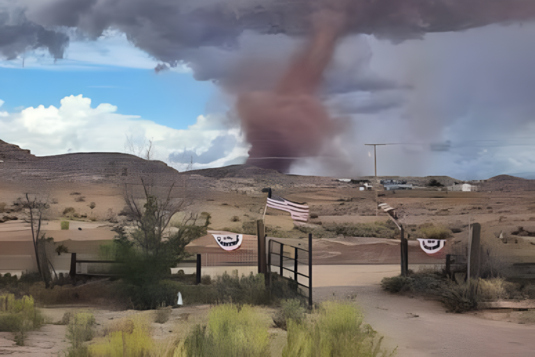
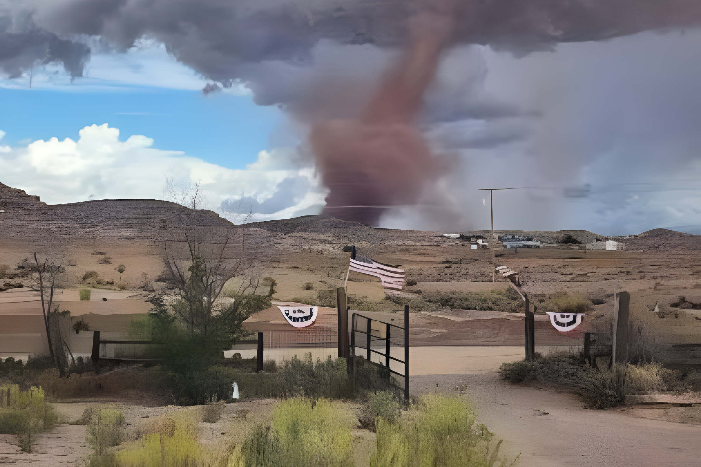
The National Weather Service confirmed that a tornado touched down in the mountains east of Fruit Heights, Utah, on Friday afternoon. The confirmation followed video showing rotation reaching the ground and debris being lifted into the air.
The tornado was reported at about 1:52 p.m. roughly 2 miles east of Fruit Heights in Davis County. The National Weather Service used radar information, video and terrain features to determine the location and estimated timing.
Tornado reached a high mountain ridgeline
According to the National Weather Service, the touchdown occurred near a summit along a ridgeline extending west from Francis Peak. The location was about 7,500 feet above sea level.
The agency said video shared online showed the rotation reaching the ground. Debris could also be seen being lifted during the brief event. The report was later included in the National Weather Service severe weather records for Sept. 18.
The confirmation came after weather spotters reported a funnel cloud over northern Davis County. Radar also showed conditions capable of producing a tornado.
Severe weather warning covered several Utah communities
The National Weather Service issued a tornado warning at 1:44 p.m. for northeastern Davis County, south central Weber County and west central Morgan County. The warning remained in effect until 2:15 p.m.
The warning covered communities including Layton, Kaysville, Farmington, Mountain Green and Morgan. Forecasters also warned of ping pong ball sized hail and dangerous flying debris.
Additional severe thunderstorms continued across northern Utah during the afternoon. The National Weather Service later issued a severe thunderstorm warning for parts of Davis, Weber and Morgan counties, with hail and heavy rainfall among the main concerns.
Heavy rain added another weather concern
The storms also produced heavy rainfall across parts of northern Utah. Flood advisories were issued for portions of Davis and nearby counties as thunderstorms moved through the region.
The National Weather Service warned that heavy rain could produce localized flooding, particularly in low lying areas and places with poor drainage.
The Davis County tornado adds another notable event to Friday’s severe weather activity across Utah. The National Weather Service continues to document the storm reports as part of its official records.
About the Author