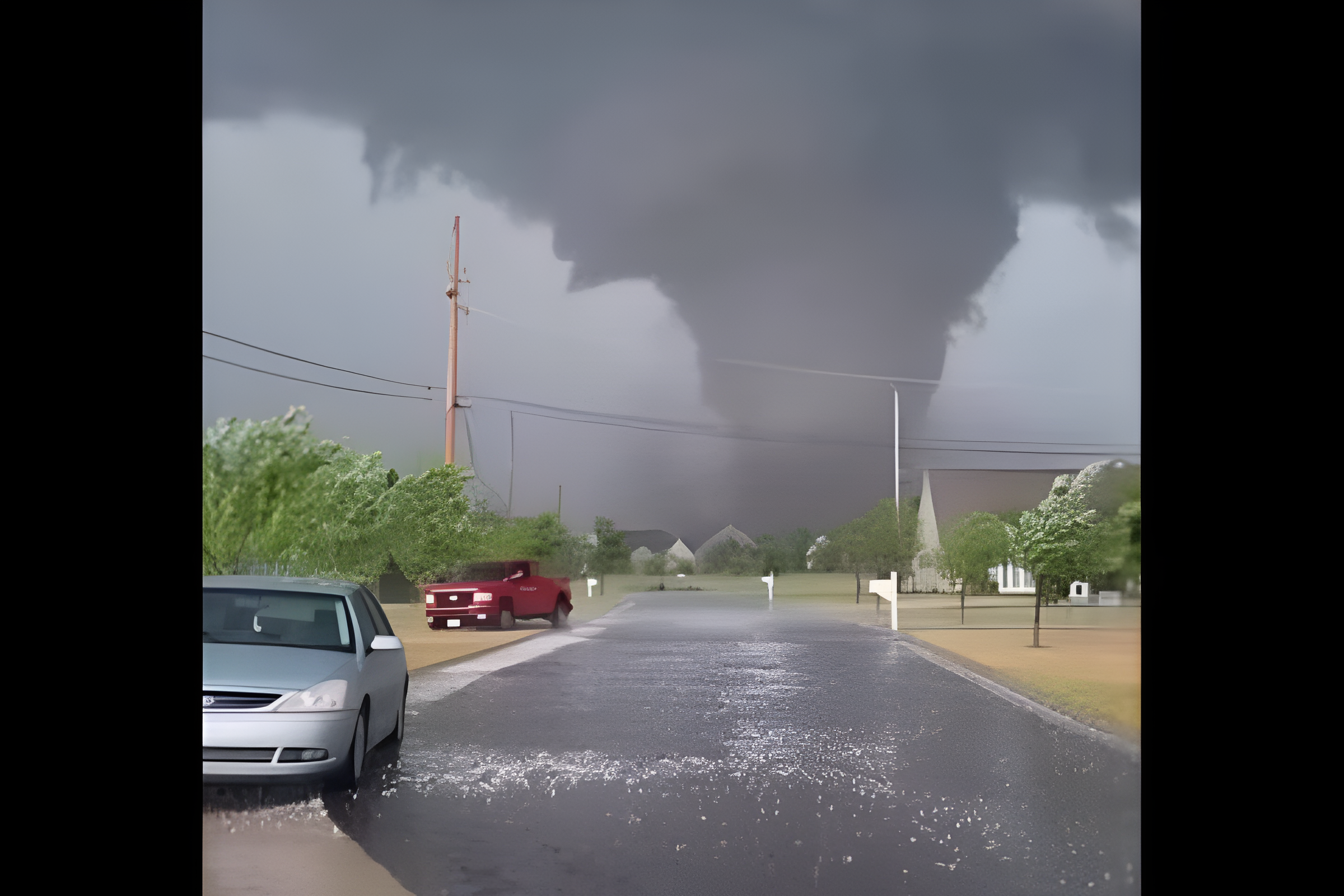
Photo credit: Instagram/Ga Tornado
Severe weather moved across southeast Georgia and South Carolina today, Oct. 10, bringing tornado warnings, reports of damage and concerns about flooding.
The National Weather Service reported a tornado in Allendale County, South Carolina, at 4:18 p.m. The circulation was about 5 miles south of Appleton and moving north at 30 mph, according to the supplied weather report.
A broader tornado watch covered 18 counties across the two states through 8 p.m. Residents were urged to monitor official alerts and take shelter when warnings applied to their locations.
Where did the tornado cause damage?
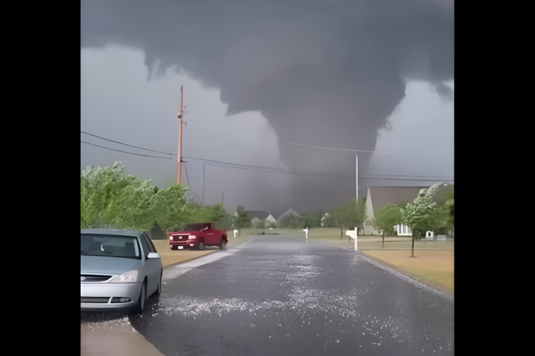
In Georgia’s Screven County, a reported tornado traveled near Highway 21 and caused damage along a path approximately 200 yards wide. Trees fell near Old Savannah Highway and Highway 21, according to local reports.
Video shared with News 12 showed a tornado moving through the area toward the Savannah River and across the state line. A house in Screven County was also struck by lightning and caught fire as storms moved through the region.
A separate tornado warning for Burke County, near Waynesboro, expired at 4 p.m. after radar indicated rotation. That alert was distinct from the warnings affecting Screven and Allendale counties.
Which communities were under the tornado watch?
The reported watch covered seven Georgia counties, including Bulloch, Candler, Effingham, Evans, Jenkins, Screven and Tattnall.
In South Carolina, the affected counties included Allendale, Bamberg, Barnwell, Beaufort, Berkeley, Charleston, Colleton, Dorchester, Hampton, Jasper and Orangeburg. Communities across the watch area included Statesboro, Sylvania, Rincon, Beaufort, Charleston, Hilton Head Island, Summerville and Walterboro.
A watch means conditions are favorable for tornadoes. A warning means a tornado has been indicated or detected and people in the affected area should take protective action immediately.
View this post on Instagram
How should residents stay safe?
People in a tornado warning area should move to a basement or an interior room on the lowest floor of a sturdy building. Stay away from windows and put as many walls as possible between yourself and the outdoors.
Those in mobile homes or vehicles should seek substantial shelter if they can do so safely. If shelter is unavailable, follow local emergency guidance and protect your head from flying debris.
Heavy rain and coastal hazards add to the risk
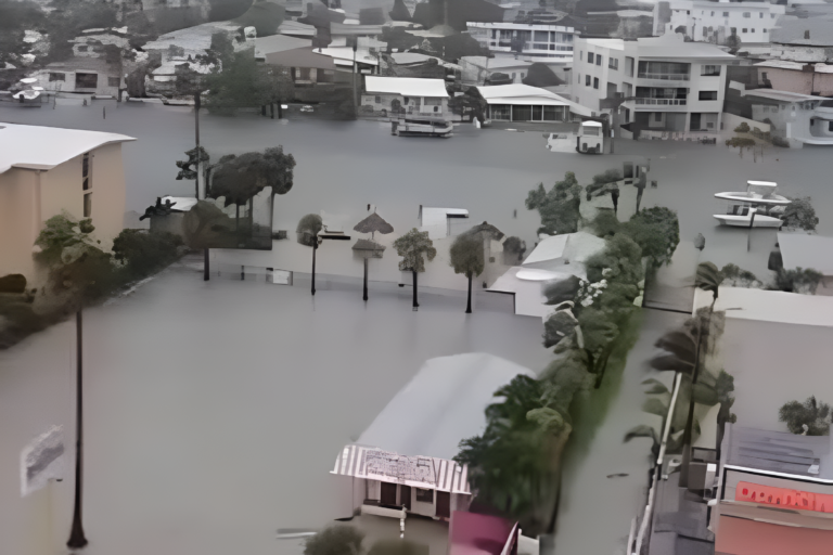
Forecasters also warned of potential flooding across southeast Georgia and South Carolina. The report anticipated rainfall totals of 1 to 3 inches in many areas, with isolated totals reaching 3 to 6 inches. The heaviest bands could produce rainfall rates of up to 2 inches per hour.
Heavy runoff can flood streets, creeks, low-lying neighborhoods and roads with poor drainage. Never drive through floodwater, and move to higher ground if flooding threatens your location.
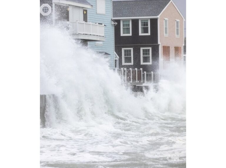
Dangerous rip currents were also forecast along both states’ coastlines through this evening. Beachgoers were advised to follow local beach warnings and swim near lifeguards. Anyone caught in a rip current should stay calm, float and swim parallel to shore when possible rather than fighting directly against the current.
Residents should check local emergency alerts and National Weather Service updates for the latest conditions in their area.
About the Author