Photo credit: CNN (Instagram)
South Florida residents are facing a heightened risk of flooding as heavy rain and thunderstorms are expected to move across Miami-Dade and Broward counties through Monday.
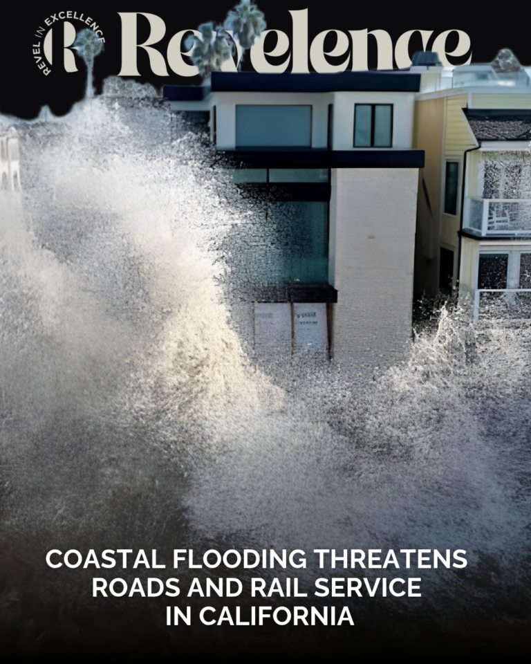
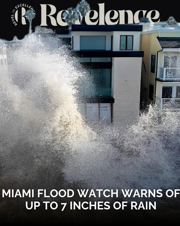
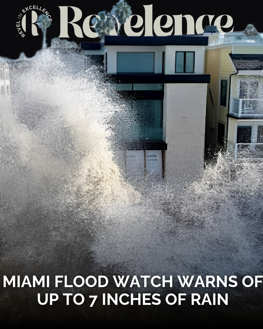
The National Weather Service has issued a Flood Watch for both counties, warning that several inches of rain could fall within a short period. Some areas could receive as much as 7 inches, increasing concerns about localized flooding and hazardous travel conditions.
The alert took effect Sunday, November 1, at 10 a.m. and is scheduled to remain in place until Monday, November 2, at 3 p.m.
According to WSVN meteorologist Jackson Dill, a disturbance in the middle levels of the atmosphere will contribute to unsettled weather across South Florida. A front positioned south of the region is also expected to gradually move northward.
These weather conditions could produce widespread rounds of showers and thunderstorms throughout the region.
Flood watch warns of up to 7 inches of rain
The National Weather Service expects widespread rainfall totals of 3 to 5 inches across affected areas. However, isolated locations could receive between 5 and 7 inches.
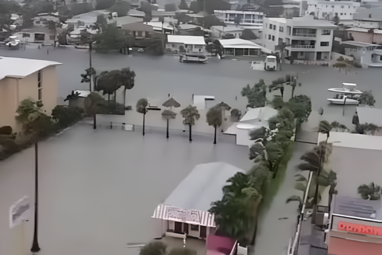
Such rainfall could overwhelm drainage systems and cause water to accumulate on roads and in low-lying neighborhoods.
Residents should remain alert, particularly in areas that have experienced flooding during previous heavy rainfall events.
The greatest concern is the possibility of several inches falling within a short period. This could quickly create dangerous conditions for motorists and pedestrians.
The unsettled weather follows a Halloween weekend marked by humid conditions and scattered showers across South Florida.
Sunday and Monday bring more thunderstorms
Sunday is expected to bring limited sunshine, with passing showers developing during the morning.
Thunderstorm activity is forecast to increase throughout the afternoon. Heavy downpours could continue into the overnight hours, keeping the flood threat elevated.
Monday could also begin with widespread showers and thunderstorms. However, rainfall activity is expected to gradually decrease during the afternoon.
Residents should monitor weather updates before traveling and avoid driving through flooded streets.
High surf and rip current risks continue
Rainfall is not the only weather concern affecting South Florida.
Breezy conditions are expected to keep the risk of dangerous rip currents elevated along local beaches.
Broward County beaches are also under a High Surf Advisory as rough ocean conditions continue.
Beachgoers should exercise caution and follow safety instructions from local authorities. Swimming in rough conditions can increase the risk of dangerous water-related emergencies.
South Florida weather improves ahead of next weekend
Tuesday, November 3, which is Election Day, is expected to bring brighter skies and fewer showers.
However, scattered afternoon showers will remain possible across parts of South Florida.
Water levels are also expected to gradually improve. Forecasters anticipate that flooding will decrease to minor flood stage, ending a stretch of more than seven days of daily moderate flooding associated with the King Tides.
By Wednesday, the atmospheric disturbance is expected to move away from Florida.
This should bring drier conditions and warmer temperatures, with afternoon highs potentially reaching the mid to upper 80s.
Another weather system could approach South Florida toward the end of the week. Forecasters expect this fall front to carry limited moisture, meaning it may bring little or no rainfall.
However, it could introduce lower humidity by next weekend, offering residents a break from the recent humid conditions.
For now, the immediate concern remains the potential for heavy rainfall and flooding across Miami-Dade and Broward counties.
Residents are encouraged to stay informed about changing weather conditions and take precautions while the Flood Watch remains in effect.
Source: WSVN 7News, Jackson Dill, November 1, 2026.
About the Author