Courtesy: X
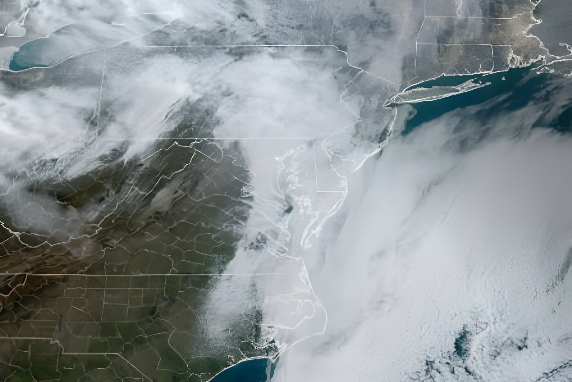
Western Pennsylvania is trading one weather problem for another this weekend. A cold front is moving through the region. It brings relief from days of hazardous wildfire smoke. That same front also carries the risk of severe thunderstorms with damaging winds, heavy rain and localized flooding. Forecasters say conditions could shift quickly as today unfolds.
Wildfire smoke keeps air quality dangerous through the morning
Heavy smoke from Canadian wildfires has blanketed much of Western Pennsylvania for days. State officials issued a Code Purple Air Quality Alert in response. The smoke has reduced visibility and created very unhealthy conditions. Children, older adults and anyone with respiratory or heart conditions face the greatest risk.
Meteorologists expect the smoke to gradually clear overnight. Air quality should largely improve by midday today as the approaching weather system moves through. The same front clearing the smoke also carries a separate risk that residents need to watch closely.
Strong to severe storms threaten the region today
Incoming rain should help clear the air, but it also raises the chance of severe weather. Forecasters expect scattered showers to begin early today. A stronger line of thunderstorms will develop during the afternoon and evening. The greatest risk arrives after 4 p.m., when storms are expected to move south from the Lake Erie region.
Several hazards accompany this system. Damaging wind gusts represent the most likely threat. Heavy rainfall could also cause localized flooding in low-lying areas. A lower but still real risk of hail and isolated tornadoes remains possible as well. Some communities could see close to an inch of rain, especially in spots where thunderstorms repeatedly track over the same location.
Sunday brings a much-needed break
Conditions should improve considerably once the cold front passes. Skies are expected to clear gradually on Sunday. Humidity will drop and temperatures will return to more comfortable levels. Forecasters currently expect Sunday to be the most pleasant day of the weekend. That said, wildfire smoke could drift back into the region later in the day depending on how wind patterns shift. The improvement may not hold completely.
More unsettled weather returns early next week
The calm will likely be brief. Another round of showers and thunderstorms is expected to arrive Tuesday. That system brings renewed potential for heavy rainfall and possibly severe weather again. Once it clears, temperatures are forecast to drop below seasonal averages. A drier and more comfortable stretch should follow during the second half of next week.
Residents with outdoor plans today, or anyone sensitive to poor air quality, should keep a close eye on updated forecasts as conditions continue shifting through the weekend.
About the Author