Courtesy: (X)
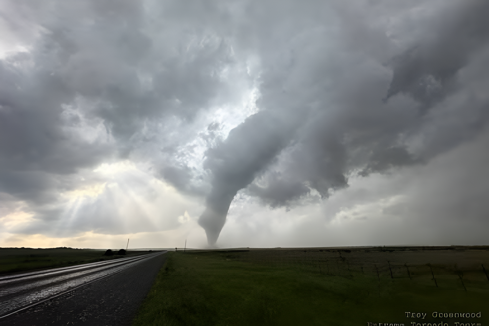
Michigan’s severe weather season continued this week after meteorologists confirmed three new tornadoes touched down in the Upper Peninsula during a widespread storm outbreak on July 20. The National Weather Service office in Marquette completed storm surveys and verified the tornadoes, raising the state’s confirmed 2026 total to 26.
The tornadoes formed as powerful thunderstorms swept across the region, bringing damaging winds, heavy rain and large hail to several communities. Despite the scattered tree damage, officials reported no injuries connected to any of the tornadoes, offering some relief after a night that prompted tornado watches across much of the region.
How each tornado formed and where damage occurred
The first tornado developed in Marquette County around 6:31 p.m., beginning as a waterspout that moved ashore near Shot Point. Since the tornado produced no observable damage after reaching land, meteorologists assigned it an EFU rating, meaning there was not enough evidence to estimate wind speed.
A second tornado followed in Menominee County around 7:47 p.m. Survey teams found damaged large pine trees scattered through a remote wooded area, leading forecasters to classify that tornado as an EF1. Shortly after, a third tornado touched down in Delta County around 7:58 p.m. Crews examined damage to softwood trees near a lakeshore and assigned that tornado an EF1 rating as well.
Why Michigan’s tornado total keeps climbing
Before these three confirmations, Michigan’s statewide total stood at 23 tornadoes through June 30. The updated count now reflects an unusually active season across multiple regions of the state. Earlier in the year, a significant outbreak on April 14 and 15 alone accounted for nine confirmed tornadoes, making it one of the busiest stretches of the season so far.
Meteorologists continue reviewing storm reports throughout the summer whenever severe weather moves through Michigan. Each new outbreak adds to a growing picture of how frequently tornadoes have touched down across the state this year.
What the tornado ratings actually mean
Two of the newly confirmed tornadoes received EF1 ratings on the Enhanced Fujita Scale, which estimates tornado strength based on the damage left behind. An EF1 tornado carries estimated wind speeds between 86 and 110 mph, strong enough to snap large tree branches, uproot shallow-rooted trees and damage roofs or structures.
The Marquette County tornado received an EFU rating instead, since survey teams found no measurable damage to analyze once the waterspout moved inland. Without physical evidence, meteorologists cannot reliably estimate wind speed, even when radar data and eyewitness accounts confirm a tornado occurred.
What fueled the July 20 outbreak
Forecasters said multiple supercell thunderstorms tracked across the Upper Peninsula on July 20, producing the tornadoes along with large hail and damaging straight-line winds. Supercells rank among the most dangerous storm types, capable of generating severe weather across several categories at once.
The National Weather Service issued a tornado watch covering most of the Upper Peninsula and parts of neighboring Wisconsin throughout the afternoon and evening. Residents experienced rapidly shifting conditions, including heavy downpours, hail and strong wind gusts as the system moved through. Officials continue urging residents to monitor forecasts closely as Michigan moves deeper into peak severe weather season.
About the Author