Photo credit: storm (X)
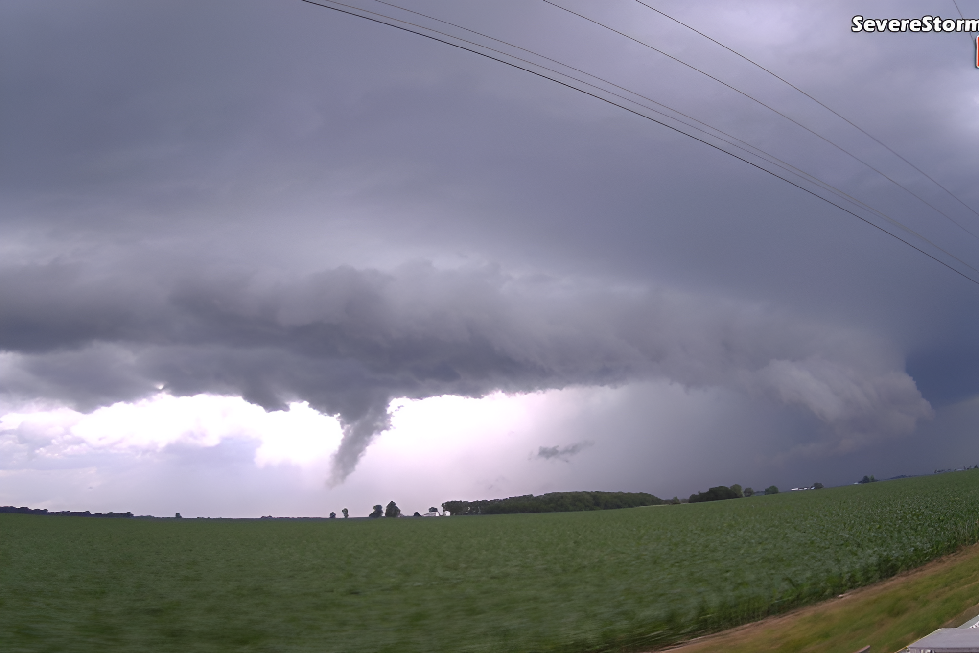
A severe thunderstorm watch covers roughly 40 million people across the East Coast today, running through Delaware, New Jersey, New York, Pennsylvania, Maryland, Virginia, West Virginia, Connecticut and the Washington area until 9 PM ET. The National Weather Service warns of wind gusts up to 65 mph, hail, frequent lightning and downpours capable of causing flash flooding.
What makes today more dangerous than a typical storm
The storms are not arriving alone. A dangerous heat advisory is already in place across the same region, pushing the feels-like temperature to between 95 and 104 degrees. Cities including Dover and Georgetown are seeing a heat index near 102. That level of heat and humidity loads the atmosphere with energy and moisture. It is the same fuel that turns an ordinary afternoon shower into a wind-driven flooding threat by evening.
When the worst storms are expected
Forecasters expect the strongest activity to develop between 4 PM and 11 PM, especially along and northwest of the I-95 corridor. Some storm cells could produce 2 to 3 inches of rain per hour. That rate overwhelms storm drains quickly and floods low-lying roads within minutes. The storms are moving rather than stalling, so the heaviest rain in any one location may not last long. Repeated cells tracking over the same city, though, could still trigger isolated flash flooding.
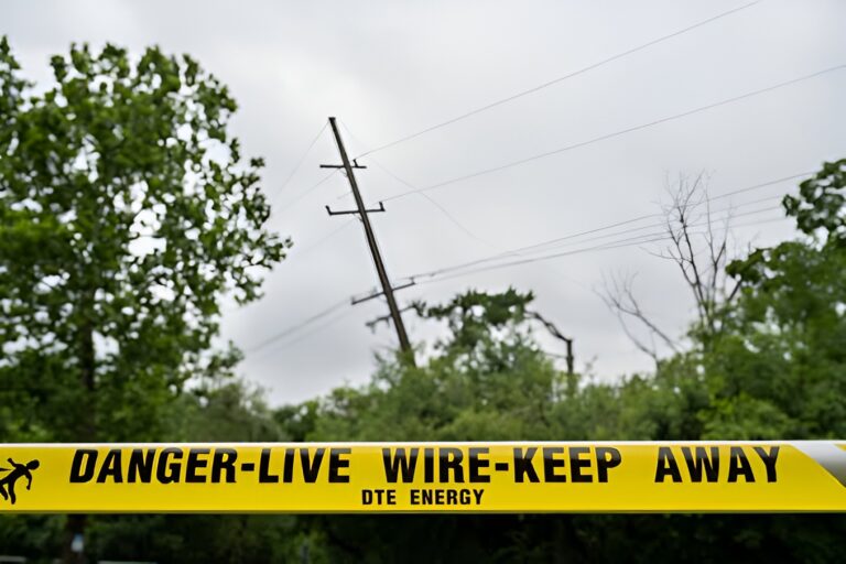
The Storm Prediction Center placed parts of the Mid-Atlantic under a level 2 of 5 slight risk. That rating still includes damaging winds strong enough to knock out power across a wide area. Losing electricity during a heat advisory adds a separate danger on top of the storms themselves.
View this post on Instagram
What to do before the storms arrive
Finish any outdoor plans early or move them to another day. The risk grows through the afternoon. Stay hydrated and out of parked cars, which reach deadly temperatures within minutes. When thunder starts, move inside a sturdy building. Avoid driving through flooded roads since most flood deaths occur in vehicles. Even shallow, fast-moving water can carry a car away. Keep a phone charged in case the power goes out.
Heat remains one of the deadliest weather threats in the country. It hits older adults, young children and people with existing health conditions hardest. A quick check on a neighbor today carries more weight than usual.
When relief arrives
A cold front should ease the humidity by Sunday and bring a drier, cooler stretch through the early part of next week. The heat is expected to build again after that.
About the Author