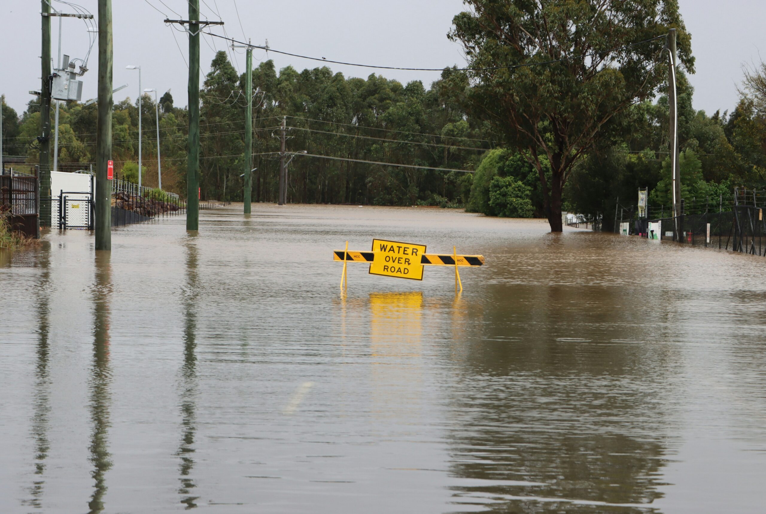
Photo by Wes Warren on Unsplash
Active flooding is underway Tuesday morning, July 14, across areas along Highway 90 from Hondo to Uvalde and north into Bandera County. Radar estimates show up to 6 inches of rainfall fell northwest of Hondo overnight. Flood warnings remain in effect for Medina, Bandera and Uvalde counties through 8 a.m.
Rounds of heavy rain will continue through the morning hours, with additional rounds possible later Tuesday. Forecasters warn that pinpointing exactly where the heaviest rainfall will fall remains difficult. As a result, all areas along and west of Interstate 35 need to stay weather-aware. Anyone living or staying near a creek or river should monitor water levels closely and avoid flooded roadways.
More heavy rain expected tonight and Wednesday
The flood threat does not end Tuesday. Additional rounds of heavy rain are forecast to develop tonight into Wednesday. Similar to Tuesday morning’s pattern, pockets of very heavy rainfall will set up across the region with little warning. The areas most at risk for flooding include those along Highway 90, primarily west of San Antonio, and north into the Hill Country. A Flash Flood Watch remains in effect through Thursday for San Antonio and surrounding areas.
Pattern shifts Thursday as rain moves west
The heaviest rainfall will gradually shift west toward the Rio Grande on Thursday as the weather system evolves. That shift will provide some relief to areas closer to San Antonio that have already absorbed significant rainfall. By Friday and into the weekend, rain chances drop considerably and temperatures begin to warm back up across South Texas.
Safety reminders for residents and visitors
Residents along creeks and rivers should remain on alert through Thursday morning. Do not attempt to cross flooded roads. Even shallow water can be dangerous on roadways, and conditions can change quickly during active flooding events. Campers and visitors along the Frio River and other Hill Country waterways should have evacuation plans ready and stay informed through local emergency alerts.
Residents can monitor conditions through KSAT’s Doppler Radar live stream and the free KSAT Weather Authority app, which provides up-to-date forecast information and livestreams from local meteorologists.
Source: KSAT 12 / KSAT Weather Authority
About the Author