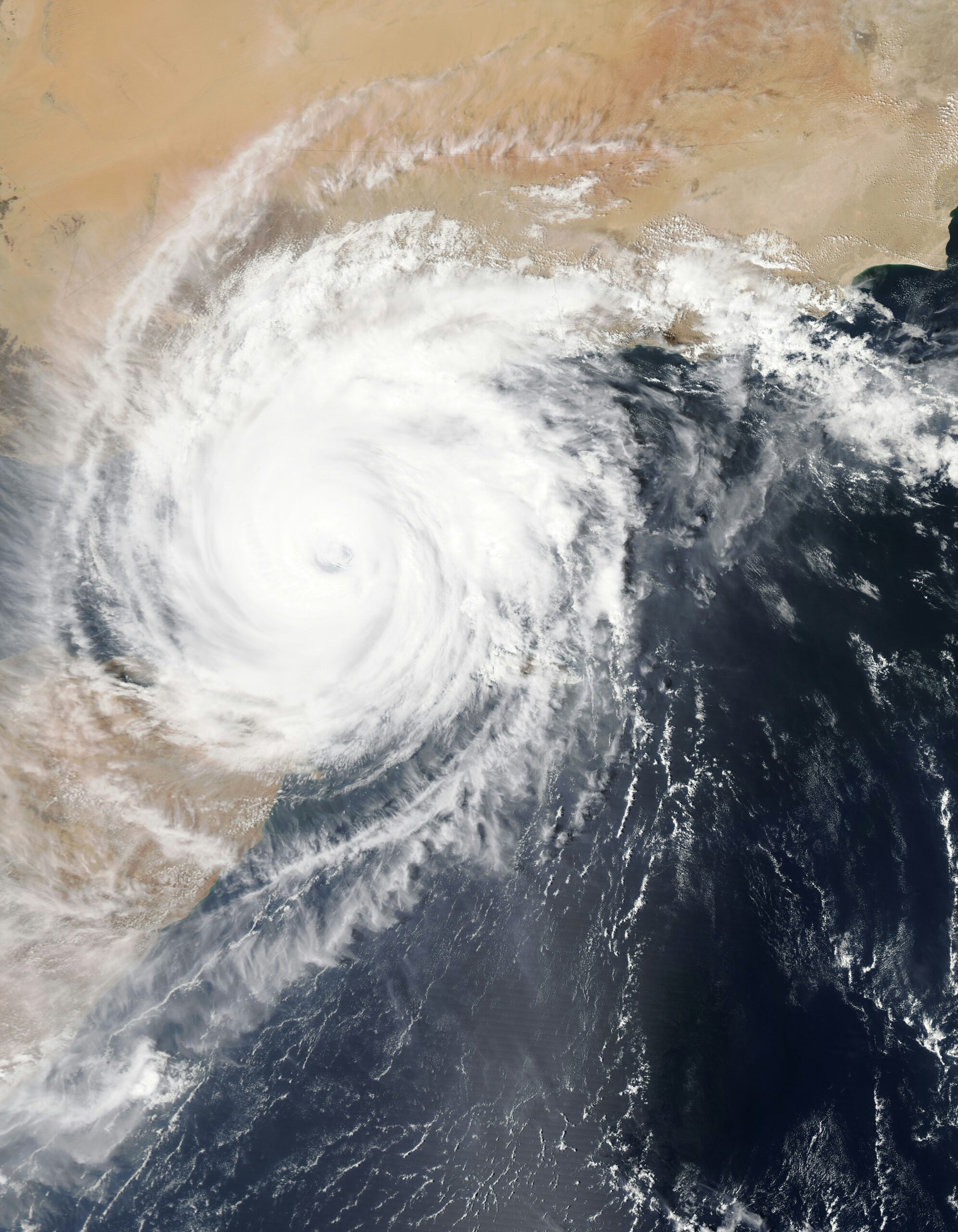
Photo by NASA on Unsplash
A new area in the central Atlantic is drawing attention after nearly two weeks of quiet conditions during the 2026 hurricane season.
The National Hurricane Center is monitoring the system for possible tropical development. However, the area is still far from land and currently consists of disorganized showers and thunderstorms.
New Atlantic area could develop this week
The system is located about 1,000 miles east-southeast of Bermuda. On Monday afternoon, the National Hurricane Center increased its chance of development over the next seven days from low to medium.
For now, strong wind shear is limiting the system’s ability to organize. However, weather conditions could become more favorable later this week.
The system is moving west-northwestward across the open Atlantic. Because it remains far from land, there is currently no immediate threat to coastal communities.
If the thunderstorms stay organized, forecasters say a window for development could open during the middle or latter part of the week.
Why wind shear matters
Wind shear has played a major role in keeping the Atlantic unusually quiet this season. It occurs when wind speed or direction changes with height in the atmosphere.
Strong wind shear can tear developing thunderstorms apart. As a result, tropical systems can struggle to become organized enough to form storms or hurricanes.
However, wind shear is not equally strong across the entire Atlantic. Therefore, tropical systems can still find areas where conditions are more favorable.
The system being monitored is expected to remain north of a band of stronger wind shear stretching from the Caribbean toward northern Africa. That could provide a temporary opportunity for development later this week.
El Niño is keeping the Atlantic quiet
Forecasters have also pointed to an intensifying El Niño as a major factor behind the quiet hurricane season.
Stronger El Niño conditions typically increase wind shear across the Atlantic Basin. Consequently, storms can weaken or fail to develop before they become organized.
According to the Weather Channel, wind shear from the Caribbean Sea to just off Africa has been exceptionally strong for this time of year since 1979.
Dry air has also contributed to the lack of activity. Tropical Storm Dolly, for example, weakened quickly in late August after encountering unfavorable conditions.
Other tropical waves moving westward from Africa have also struggled to develop.
Could another named storm form?
The Atlantic hurricane season has already passed its traditional peak. Even so, tropical activity can continue into the fall.
Forecasters will continue watching the central Atlantic system as it moves west-northwestward.
If the system develops enough to become a named tropical storm, it would receive the name Fay.
However, the current system remains disorganized, and strong wind shear continues to limit its chances. Furthermore, forecasters expect the system to eventually be picked up by a cold front and pushed northeastward.
For now, residents should not confuse the system with an immediate land threat. The National Hurricane Center is monitoring it, and conditions could change later this week.
Source: The Weather Channel / National Hurricane Center
About the Author