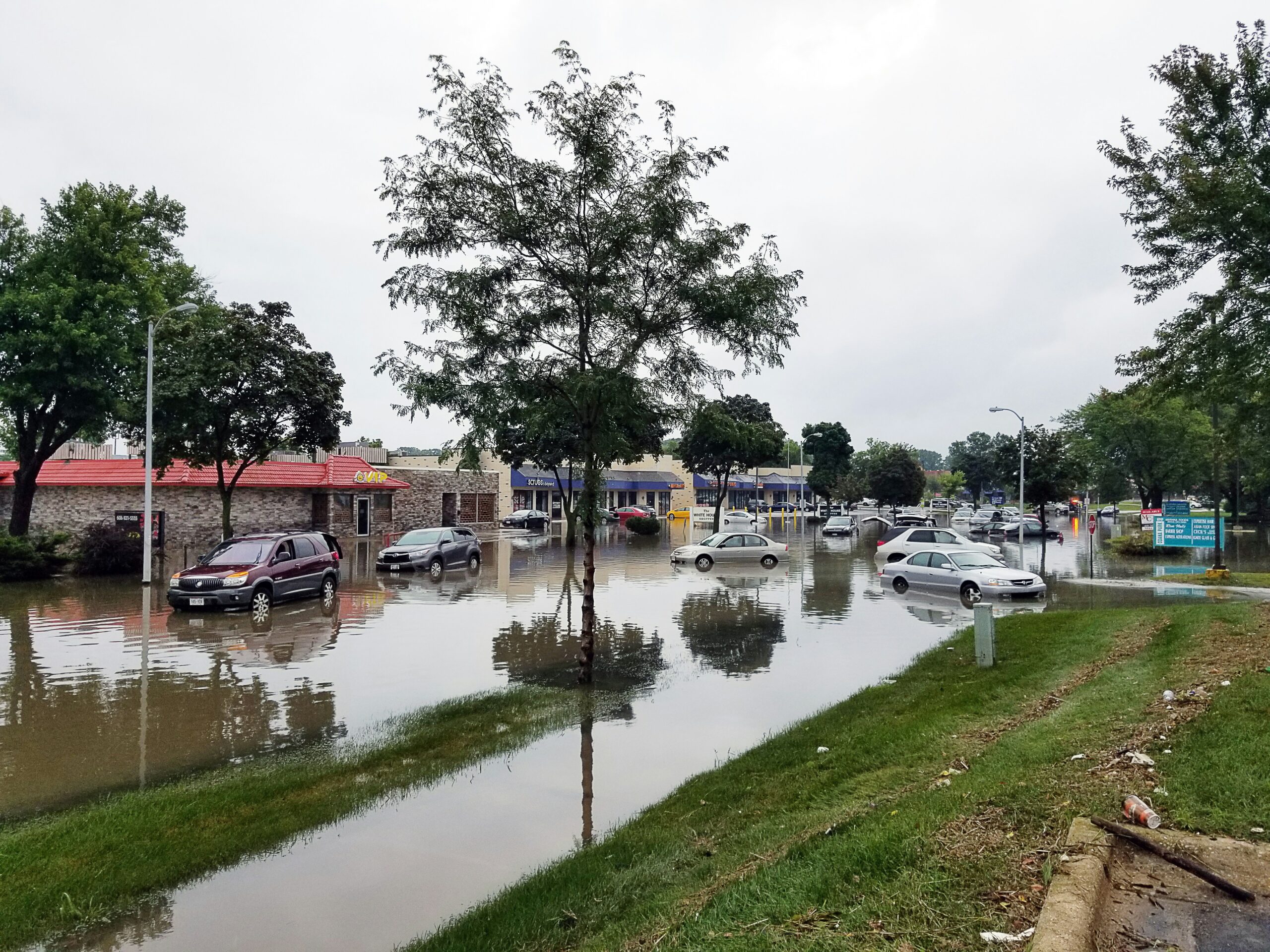
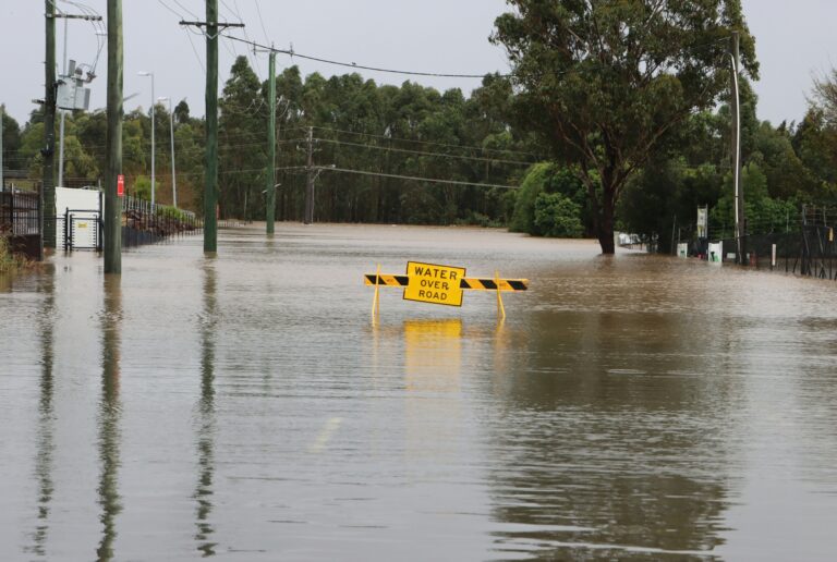
Communities across Northeast Wisconsin are facing a stretch of unstable weather as rising river levels and reduced visibility begin to impact daily life. Following several days of steady rainfall, rivers and streams have overflowed their banks in some areas, prompting flood warnings.
One of the most visible impacts has been along the Wolf River, where water levels surged enough to spill into surrounding areas, creating hazardous conditions for residents. The flooding has already forced some communities to take precautions as officials monitor the situation closely.
At the same time, a dense fog advisory has added another layer of concern. Visibility in parts of the region has dropped significantly, with some areas seeing conditions reduced to just a quarter mile, making travel more dangerous during early morning hours.
Rivers rise after days of rain
Recent rainfall has pushed several rivers to or beyond flood stage, with the Wolf River among the most affected. Overflowing banks have led to localized flooding, especially in low-lying communities, increasing the risk of road closures and property damage.
Dense fog limits visibility
Fog has settled across parts of the region, creating difficult driving conditions. Reduced visibility has forced drivers to proceed cautiously, especially during peak morning hours when travel is already busy.
Thunderstorms return with stronger threats
After a brief break in the weather, another system is expected to move in, bringing showers and thunderstorms back to the area. While some sunshine is expected in between, conditions will shift quickly as the next wave approaches.
Severe weather risk increases
Forecasters are warning that some of the incoming storms could intensify, bringing damaging winds, large hail and even the possibility of tornadoes. The region has been placed under a moderate risk level, signaling the potential for impactful weather.
Cooler, windy conditions follow
Once the storm system passes, temperatures are expected to drop, with cooler and windier conditions settling in. Gusts could reach up to 35 mph, creating a noticeable shift from the earlier mild weather.
Conditions expected to improve after storms
Despite the immediate concerns, there is some relief ahead. A stretch of drier weather is expected after the next round of storms, which should help river levels gradually recede and reduce flood risks.
Still, the coming days will require close monitoring as conditions evolve. With multiple weather threats unfolding at once, residents are being urged to stay informed and prepared as Northeast Wisconsin navigates this active weather pattern.
Source: WLUK Fox 11 meteorology report (April 16, 2026)