Courtesy:willgard-fantasy from pixabay

Residents across southern Minnesota are being urged to have an emergency plan ready as meteorologists warn that a volatile and potentially violent storm system is expected to erupt across the region Monday afternoon, bringing with it some of the most serious severe weather threats the area has seen this season.
The National Oceanic and Atmospheric Administration’s Storm Prediction Center has placed the Twin Cities, Mankato, Rochester, and surrounding communities under an enhanced risk for severe storms level 3 out of 5 on the national severe weather scale. That designation is not issued lightly, and forecasters are making clear that residents in these areas need to take the threat seriously before conditions deteriorate later in the day.
These 3 threats are the most dangerous
Forecasters have identified three distinct hazards that residents should prepare for as storms develop Monday:
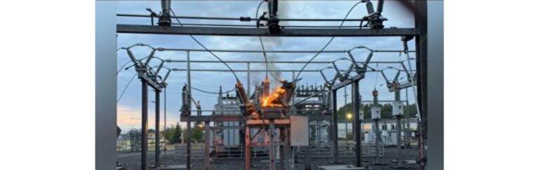
- Baseball-sized hail is considered the headline threat of the day. The National Weather Service has indicated that supercell thunderstorms, if they develop as expected, could produce hailstones as large as a tennis ball or baseball in diameter large enough to cause serious damage to vehicles, windows, rooftops, and anything left outdoors.
- Strong tornadoes, including those rated EF2 or higher on the Enhanced Fujita scale, are possible with any supercell that manages to organize south of the warm front. An EF2 tornado carries winds capable of demolishing well-constructed homes and turning debris into dangerous projectiles.
- A rapidly intensifying storm window adds an additional layer of danger. The National Weather Service expects the most significant severe weather threat to be concentrated within roughly two to three hours after storms initially fire, meaning conditions could go from calm to extremely dangerous in a very short period of time.
When and where storms are expected to develop
Storms are forecast to begin erupting after 4 p.m. Monday, primarily along and north of a warm front expected to stall somewhere between the Twin Cities and Interstate 90. According to forecast models, that front will be positioned roughly along a line stretching from Sioux Falls through New Ulm and into the Twin Cities metro area.
South of that front, the atmosphere will be warm and humid precisely the kind of environment that fuels severe thunderstorm development. However, a strong atmospheric cap could suppress storm formation in some areas south of the front. If that cap does break and a storm manages to develop in that zone, forecasters warn it could be particularly intense.
Where the tornado risk is highest
Machine-learning models from both Colorado State University and the National Severe Storms Laboratory are pointing to a corridor near the border region shared by Minnesota, Wisconsin, and Iowa as carrying the highest tornado probabilities Monday. Hail threats, meanwhile, extend considerably further north, reaching up through the Twin Cities metro and stretching west toward the South Dakota border.
Severe thunderstorm and tornado watches are expected to be issued later in the day as conditions evolve, and warnings could follow quickly once storms begin firing. Meteorologists are urging residents not to wait for official alerts before making a plan.
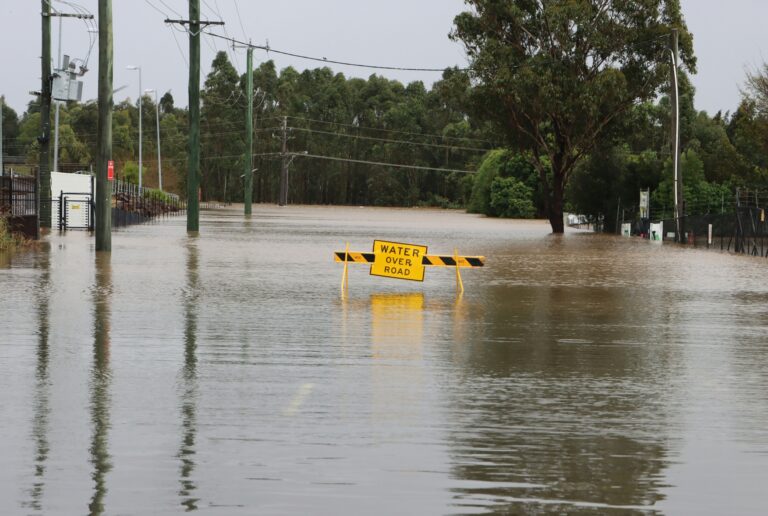
Anyone in the affected areas is strongly advised to identify a safe interior shelter location in advance, keep a close eye on local weather updates throughout the afternoon and evening, and avoid being outdoors or on the road once storms begin to approach.
Source: Bring Me The News