Courtesy: CBS
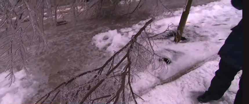
Spring may be on the calendar, but nobody told the weather. Nearly three weeks after the spring equinox, residents across parts of California and Nevada are preparing for one of the more intense weather events of the season, as a slow-moving Pacific storm threatens to unload several feet of snow and bring wind gusts that could cause widespread damage and power outages across the region.
The National Weather Service has issued a winter storm watch running from Friday evening through Sunday evening, and officials are not mincing words. Residents in the affected areas are being urged to stay inside whenever possible, bundle up in multiple layers if they must go out, and make sure that exposed skin is covered to prevent frostbite or hypothermia. Gloves, a hat and a scarf, forecasters noted, can make a significant difference in how the body retains heat during dangerously cold and windy conditions.
Where the storm will hit hardest
According to AccuWeather, the storm is expected to drift slowly inland over the weekend after approaching from the Pacific, and the Sierra Nevada region is forecast to take the heaviest impact. The two main areas facing the most extreme accumulations are: 1) Western Plumas County and Lassen Park-West Slope, where snowfall could reach up to four feet, and 2) the Northern Sierra Nevada, which faces similarly significant totals. The Lake Tahoe area is also in the crosshairs, with accumulations potentially climbing as high as 28 inches in and around that region.
Beyond the snowfall totals, the wind is a major concern. Gusts along the Sierra crest could reach 90 mph, which is strong enough to bring down tree limbs and snap power lines, raising the risk of sporadic outages across a wide swath of the affected zones. Residents have been advised to prepare for the possibility of losing power and to take steps in advance to make sure they have what they need to stay warm and safe if that happens.
What drivers need to know before hitting the road
For anyone who has no choice but to travel during the storm window, the National Weather Service is urging extreme caution. Officials are asking drivers to delay all non-essential travel until conditions improve, and those who must get behind the wheel are being reminded to leave significantly more following distance than usual, account for extra travel time, and avoid any sudden braking or sharp acceleration that could cause a vehicle to lose traction.
Hills and turns are considered especially risky during heavy snow and high wind conditions, and drivers are being asked to make sure their vehicles are properly winterized before heading out. Reduced visibility is another serious concern, and conditions can change quickly in mountain environments during a storm of this scale, meaning a road that looks passable one moment may become dangerous the next.
A late reminder that winter is not finished
Despite the arrival of spring on the calendar, weather systems like this one serve as a pointed reminder that meteorological winter does not always follow a tidy schedule. For communities in the Sierra Nevada, late-season storms are not unheard of, but the combination of high snow totals and extreme wind speeds makes this particular event one worth taking seriously.
Residents in affected areas should continue monitoring updates from the National Weather Service as the storm develops.
Source: Men’s Journal
Tags: winter storm, California weather, Nevada weather, Sierra Nevada, Lake Tahoe, National Weather Service, snow storm, power outages, travel warning, AccuWeather
About the Author