Dangerous storm system set to slam the U.S. for days
Courtesy:nikolett-emmert from unsplash
A powerful spring storm system is putting millions of people across the United States on alert as meteorologists warn that several days of severe weather could unfold from the southern Plains to the Great Lakes.
Forecasters say the active pattern may last for more than a week, bringing the possibility of tornadoes, strong winds, large hail and flash flooding across multiple states. The prolonged threat marks one of the first significant severe weather events of the spring season.
Weather experts say communities from Texas to the Midwest should prepare for repeated rounds of thunderstorms as atmospheric conditions align to create an extended stretch of instability.
A storm pattern expected to last more than a week
Meteorologists at the Storm Prediction Center have warned that some form of severe weather could occur each day for about eight days.
Forecasters say the most dangerous periods are expected to occur on Friday and again early next week when weather conditions could intensify across parts of the central United States.
The storm system is expected to impact a wide corridor stretching from the southern Plains northward toward the Great Lakes region. This setup could expose multiple states to shifting threats including hail, damaging winds and tornadoes as the system evolves.
Spring often brings volatile weather patterns across the region, but forecasters say the extended duration of this threat could make it especially challenging for communities to prepare.
The weather setup driving the severe storms
Meteorologists say the main driver of the storm activity is a stalled weather front stretching across much of the central United States.
The boundary extends from the southern Plains toward the Ohio Valley, creating the perfect environment for storm development. South of the front, warm and moisture-rich air is expected to move northward from the Gulf of Mexico.
As this warm air rises and interacts with colder air higher in the atmosphere, the result can be powerful thunderstorms capable of producing damaging weather.
The interaction between these air masses creates instability in the atmosphere. When that instability builds, it can fuel strong storms that may quickly intensify and spread across multiple states.
Cities across several states preparing for impact
The Storm Prediction Center has already issued an enhanced risk alert for parts of the southern and central Plains for Friday and Saturday.
Major cities expected to face increased risk include Oklahoma City, Kansas City, Missouri, and Tulsa, Oklahoma.
In Texas, state leaders have begun preparing for the possibility of severe weather. Emergency resources were activated ahead of the storm threat to help respond quickly if damaging weather develops.
Officials are urging residents in high-risk areas to monitor forecasts and prepare for rapidly changing conditions as storms move through the region.
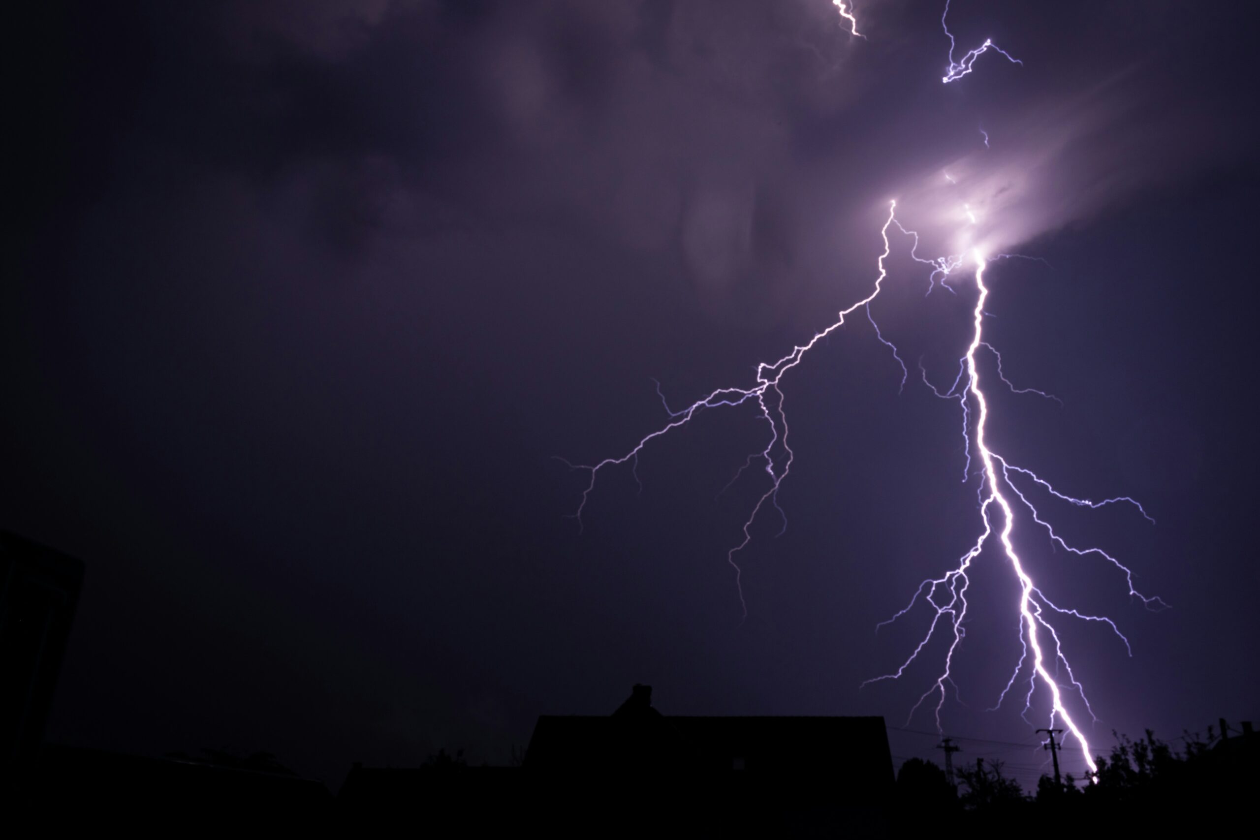
Tornadoes, hail and damaging winds possible
Some of the strongest storms developing in the coming days could produce tornadoes along with intense wind gusts and large hail.
Forecasters say wind speeds in some storms could exceed 80 miles per hour. Hailstones may grow larger than two inches in diameter in the most severe storms.
Such conditions can cause damage to homes, vehicles and power lines while also creating dangerous travel conditions.
Meteorologists stress that severe storms can develop quickly during this type of weather pattern, making early warnings and preparedness critical.
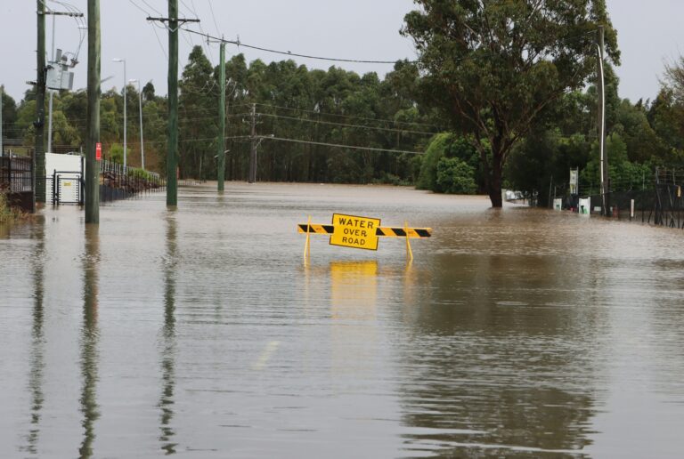
Flash flooding risk increasing across the region
Repeated thunderstorms moving across the same areas could also trigger flash flooding in several states.
Weather experts say rainfall totals of up to two inches are possible in some areas, while localized totals of three to five inches could fall from eastern Oklahoma through northwest Arkansas and southern Missouri during the midweek period.
As the storm system continues into the weekend and early next week, the flood risk may expand farther south and east.
Cities including Austin and Dallas in Texas and Shreveport in Louisiana could face elevated flood threats if heavy rain continues over already saturated ground.
With multiple rounds of storms expected, forecasters say residents across the region should remain alert and stay informed as conditions evolve throughout the coming days.
Source: The New York Times.