Photo by Jeffrey Grospe on Unsplash
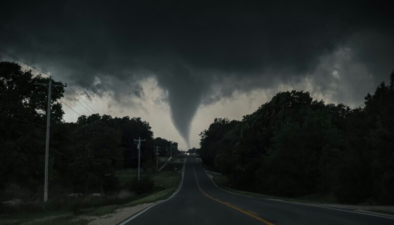
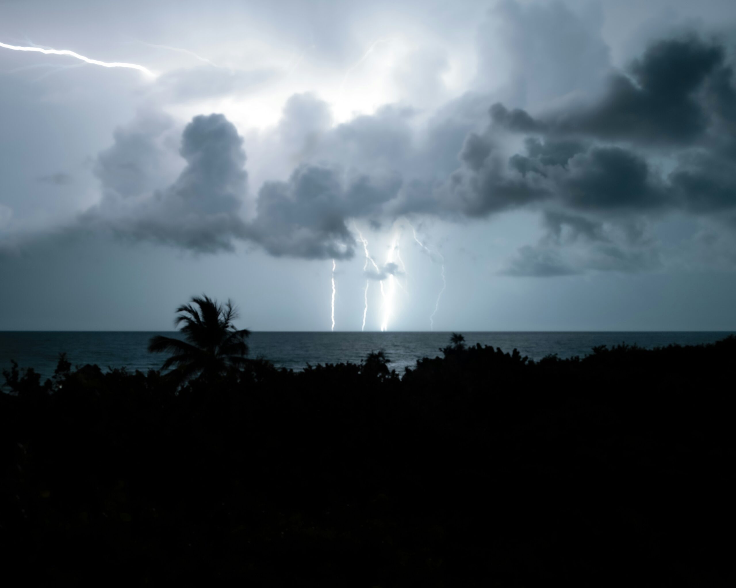
Tropical Storm Amanda is spinning in the far Eastern Pacific today, and while it poses no threat to land, its effects are still reaching the Hawaiian Islands. A large south swell continues to push elevated surf along south-facing shores statewide, keeping a high surf advisory in place. The Tropical Storm Amanda Hawaii impact remains indirect but notable, with ocean safety officials urging caution across all island beaches.
Where Amanda stands right now
As of 5 a.m. Thursday, the National Hurricane Center placed Amanda roughly 1,530 miles west-southwest of the southern tip of Baja California. The storm was carrying maximum sustained winds of 40 mph and moving northwest at 9 mph. Tropical-storm-force winds extend outward up to 60 miles from its center.
Forecasters expect some slight strengthening later Thursday and into Thursday night. After that, Amanda will begin a gradual weakening trend starting Friday night or Saturday. By the weekend, the system is likely to degenerate into a post-tropical remnant low.
High surf and ocean safety concerns
A high surf advisory remains in effect until 6 p.m. Thursday for south-facing shores across all Hawaiian Islands. The National Weather Service in Honolulu reports that a long-period south-southwest swell is slowly declining. Nevertheless, it will still produce surf of 7 to 10 feet through Thursday evening.
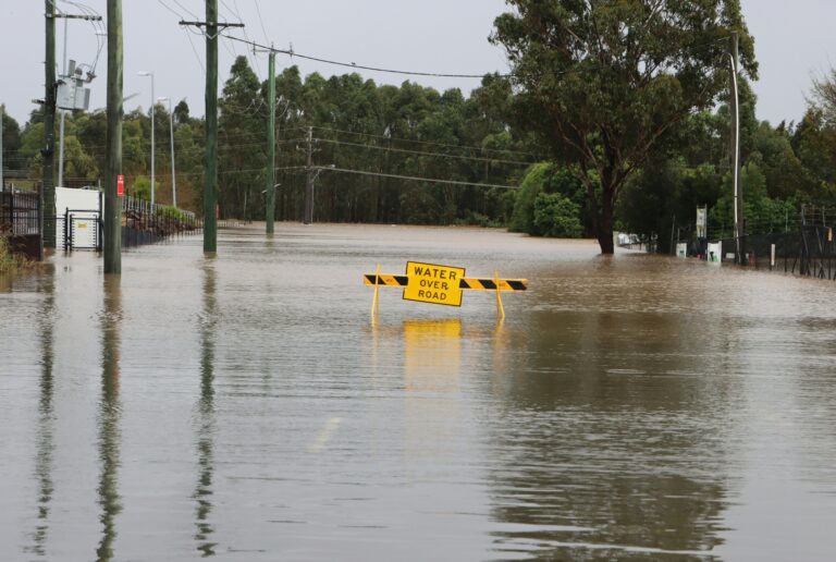
Beachgoers, swimmers, and surfers should exercise caution and follow all guidance from ocean safety officials. During the afternoon high tide cycle, periodic wave runup may reach typically dry beach areas. Anyone heading to the shore should stay alert and avoid turning their back to the ocean.
The current swell is fading, but another long-period pulse of south-southwest swell is expected to arrive late Sunday and peak early next week. So conditions will not fully settle before a fresh round of elevated surf moves in.
Small craft advisory and wind conditions
Beyond the beaches, mariners also face hazardous conditions. A small craft advisory runs until 6 p.m. Saturday for Maalaea Bay, the Pailolo and Alenuihaha channels, and Hawaii island leeward and southeast waters. Inexperienced boaters operating smaller vessels should avoid these areas until conditions improve.
Moderate to breezy tradewinds are dominating the local weather pattern. Easterly winds of 15 to 20 mph are in the forecast for Thursday, then increasing to 15 to 25 mph on Friday and Saturday.
Island-by-island forecast
Conditions vary across the state, but temperatures will stay warm throughout. High temperatures will range from 82 to 87 degrees Thursday across all islands.
From Kauai to Maui County, expect mostly sunny skies with scattered showers favoring windward and mauka areas. Leeward areas will see only isolated showers. On Hawaii island, the windward side will be mostly cloudy and wet, while the leeward side will see mostly sunny conditions with isolated morning showers.
Residents and visitors alike should monitor updates from the National Weather Service as Amanda continues to evolve and the next swell approaches later this weekend.
Source: Honolulu Star-Advertiser