Courtesy:openicons-storm from pixabay
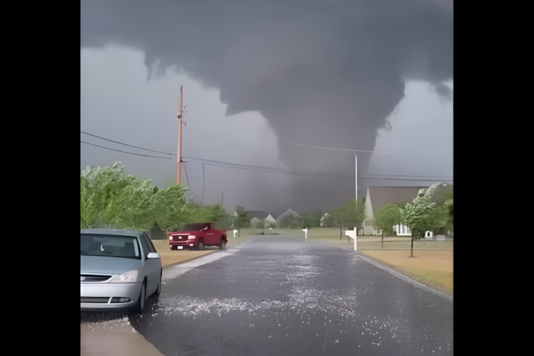
Residents in parts of New York’s Hudson Valley were urged to take cover Tuesday night as a severe thunderstorm tore through the region, bringing with it a combination of hazards capable of causing serious damage to property and posing real risks to personal safety.
The National Weather Service issued a severe thunderstorm warning for Northwestern Ulster County, with the storm system expected to affect the area through the evening hours. The warning was part of a broader pattern of severe weather moving across portions of the Tri-State Region.
What made this storm so dangerous
Three distinct threats came with the storm, and each one carried its own set of consequences for residents caught in its path.
The first was wind. Gusts reaching up to 60 mph were reported with the storm, powerful enough to cause widespread damage to rooftops, exterior siding, and trees throughout the affected area. At that speed, winds can down branches and power lines with very little warning, turning ordinary objects into hazards.
The second threat was hail. Quarter-sized hailstones fell alongside the storm, large enough to cause visible dents and damage to vehicles parked outside. For anyone caught outdoors during the storm, the falling ice posed a direct physical danger as well.
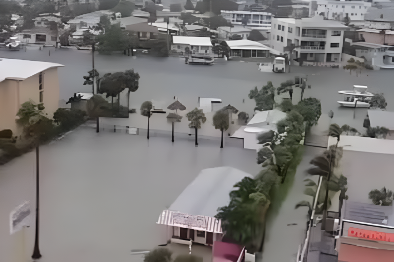
The third and perhaps most far-reaching hazard was rain. Torrential rainfall accompanied the storm system, and forecasters warned that the sheer volume of water falling in a short period created conditions ripe for flash flooding. Standing water on roadways developed quickly in some areas, and officials emphasized that driving through flooded streets is never safe, regardless of how shallow the water might appear. Vehicles can be swept away in far less water than most people expect.
What the National Weather Service advised
The National Weather Service offered clear guidance for anyone in the path of the storm: move to an interior room on the lowest floor of whatever building you are in. This recommendation reflects best practices for surviving both high winds and lightning, the latter of which was also occurring with the storm system in the form of cloud-to-ground lightning strikes.
dx adds a layer of danger that extends well beyond the immediate area of heaviest rain, and officials urged people to remain indoors rather than wait out the storm on a porch or near windows.
More rough weather expected Wednesday
Tuesday night’s severe weather was not expected to be an isolated event for the region. Forecasters indicated that additional thunderstorms remained possible on Wednesday, as a cold front was set to move through the area. Residents were advised to stay alert to updated weather information and be prepared for further disruptions as the system continued to push through.
The combination of wind damage potential, hail, and flooding risk made this particular storm event one that weather officials treated with urgency. For communities in the Hudson Valley, where roads can quickly become impassable and older tree canopies are common, the risks associated with storms of this intensity are especially pronounced.
Residents were reminded to check local alerts, avoid unnecessary travel during active weather warnings, and keep emergency supplies accessible in the event conditions worsened overnight into Wednesday.
Source: PIX11
About the Author