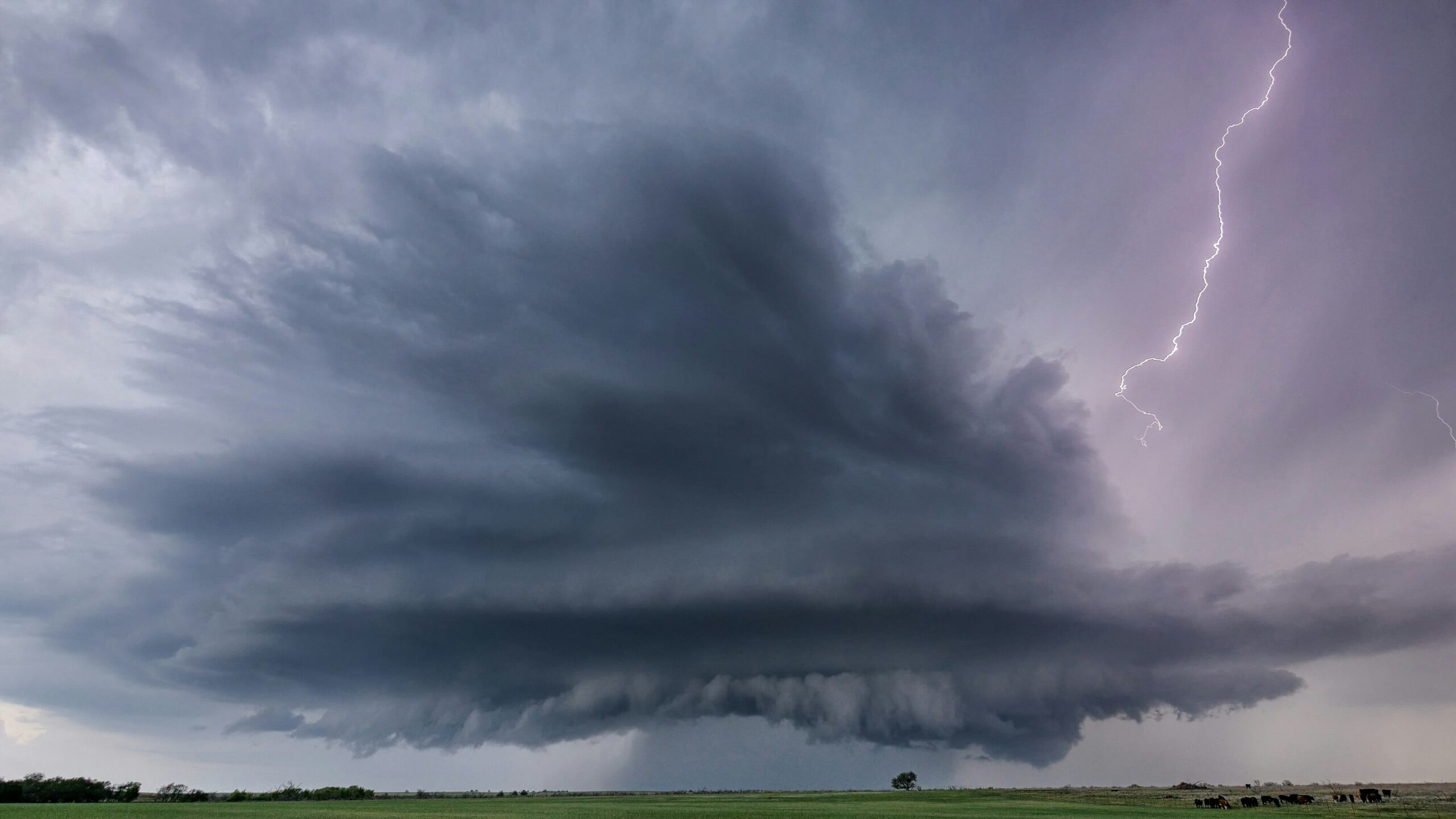
A developing weather pattern is setting the stage for several days of rain and potential severe storms across parts of Kansas, with conditions expected to remain active well into next week.
Forecasters say the shift begins with increasing cloud cover and scattered rain chances before transitioning into a more consistent threat of storms. While early activity may appear mild, the broader pattern signals a more sustained period of instability.
Residents are being urged to stay alert as conditions evolve, especially with multiple rounds of storms expected over several days.
Thursday introduces the first severe risk
The first notable concern arrives Thursday, when scattered showers are expected to develop before storms build later in the day. By evening, conditions could support stronger storm activity.
The primary threats at this stage include gusty winds and hail, with the risk categorized as marginal. While not the most intense level, it still indicates the possibility of isolated severe storms capable of producing localized damage.
This initial round serves as a preview of what could become a more active pattern heading into the weekend.
Friday and saturday extend the storm pattern
Storm chances continue into Friday and Saturday, reinforcing the idea of a prolonged unsettled stretch. Periods of showers and embedded thunderstorms are expected, limiting breaks between systems.
By Saturday, the risk for severe weather may increase slightly, particularly in areas west of the Kansas Turnpike. This suggests a broader area could experience stronger storm development compared to earlier in the week.
The repeated rounds of precipitation may also begin to impact travel and outdoor plans, as conditions remain unpredictable.
Sunday brings another elevated concern
As the weekend continues, Sunday introduces another round of storm potential, with a slightly higher risk level in some areas. Regions southwest of Emporia may face stronger storm activity compared to surrounding locations.
This phase of the pattern highlights how the system is not moving quickly. Instead, it lingers, allowing multiple opportunities for storms to redevelop and intensify.
The continued threat emphasizes the importance of monitoring updates as conditions may shift throughout the day.
Early next week keeps the threat alive
Rather than clearing out, the unsettled pattern is expected to persist into Monday and Tuesday. Both days carry additional chances for storms, along with a continued risk for severe weather.
Although exact timing and intensity may vary, the extended forecast suggests little relief in the immediate future. This ongoing activity increases the likelihood of cumulative impacts, particularly in areas that experience repeated rainfall.
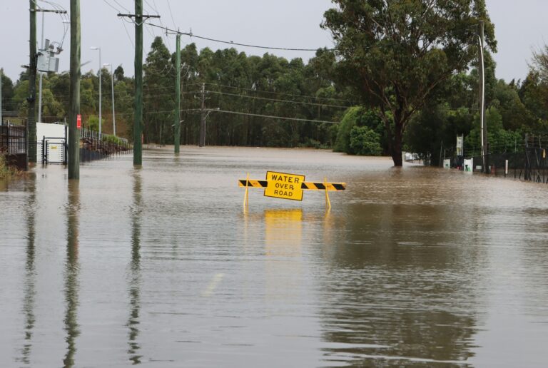
Rainfall totals and preparation become key
Beyond severe weather, rainfall totals are also a growing concern. Forecasts indicate that many areas could receive between 0.75 and 2 inches of rain by Sunday, with additional accumulation possible into midweek.
While this may benefit dry conditions in some places, it also raises the potential for localized flooding, especially if storms repeatedly track over the same areas.
Meteorologists stress that this is a critical time for residents to stay prepared. With multiple days of storm chances ahead, having a plan and staying informed could make a significant difference.
A week that demands attention
The overall forecast paints a picture of persistence rather than intensity alone. Instead of a single major storm, the region is facing several consecutive days of unsettled conditions that could bring varying levels of impact.
From isolated severe storms to steady rainfall, each phase of the pattern contributes to a broader sense of uncertainty. As a result, staying updated and prepared remains essential throughout the week.