Photo by Kelly Sikkema on Unsplash
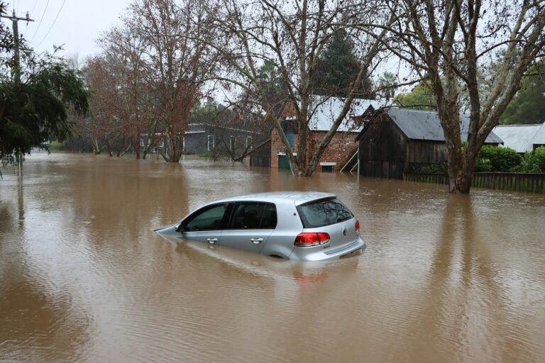
Flash flooding threatens Louisville area communities
The National Weather Service in Louisville has issued a flash flood warning for parts of the region as thunderstorms move through the area on Monday morning. The warning covers several communities and remains in effect until 9 a.m. A broader flood watch extends through noon on June 22.
Areas at risk include Louisville, Jeffersonville, New Albany, Jeffersontown, St. Matthews, Shively, Lyndon, Middletown, Douglass Hills and Prospect. Thunderstorms are expected to continue moving through the region until approximately 2 p.m.
What residents need to know
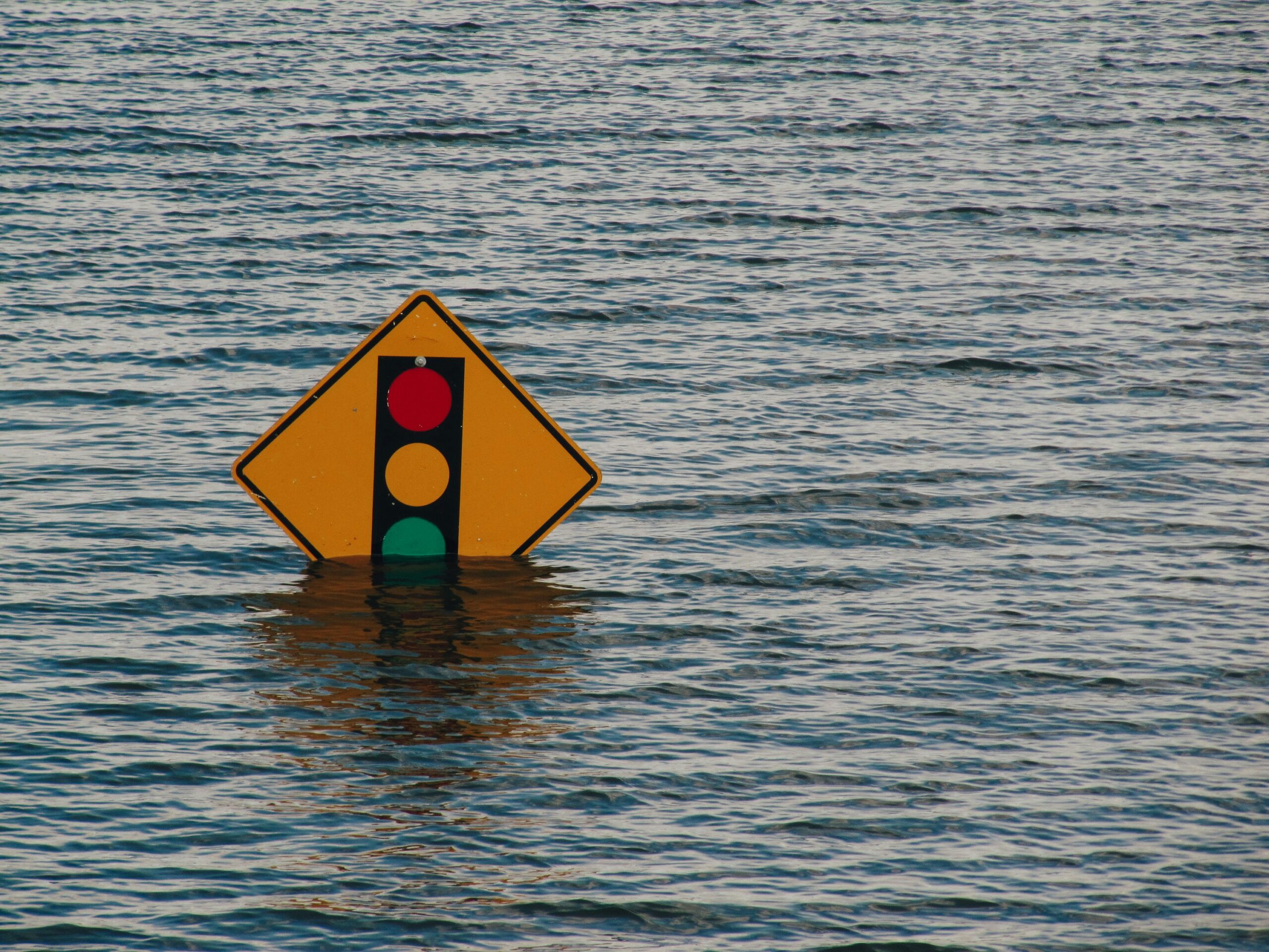
Officials are urging residents to follow a simple but potentially life-saving rule: turn around, do not drown. Driving on flooded roads is one of the leading causes of flood-related deaths, and even shallow water can be more dangerous than it appears.
Flash flooding from thunderstorms can affect a wide range of areas quickly. Small creeks and streams can overflow rapidly. Urban streets, highways and underpasses are also vulnerable. Low-lying areas and locations with poor drainage face the highest risk.
Monday will be mostly cloudy with a high near 80 degrees and a 60% chance of showers and thunderstorms in the afternoon. Wind gusts of up to 22 mph are possible. Overnight skies will remain mostly cloudy with a low around 62 degrees and a 10% chance of lingering storms before 8 p.m.
The rest of the week in Louisville
The region can expect a gradual improvement in conditions as the week progresses, though storm chances return later in the week.
Tuesday brings partly sunny skies with a high near 82 degrees and clear overnight conditions with a low around 61 degrees. Wednesday looks mostly sunny with a high near 85 degrees, though a 30% chance of precipitation returns overnight. Thursday offers mostly sunny daytime conditions with a high near 86 degrees, but storm chances climb to 50% both day and night. Friday carries a 40% chance of daytime storms and likely showers overnight, with highs staying near 86 degrees. Saturday remains mostly cloudy with a 50% storm chance and highs around 86 degrees. Sunday closes out the week with partly sunny skies, a 20% storm chance and a high near 91 degrees.
Residents in affected areas are advised to monitor NWS Louisville updates closely throughout the morning.
Source: Louisville Courier Journal / National Weather Service