Midnight earthquake rocks waters near Naples, experts scramble to explain
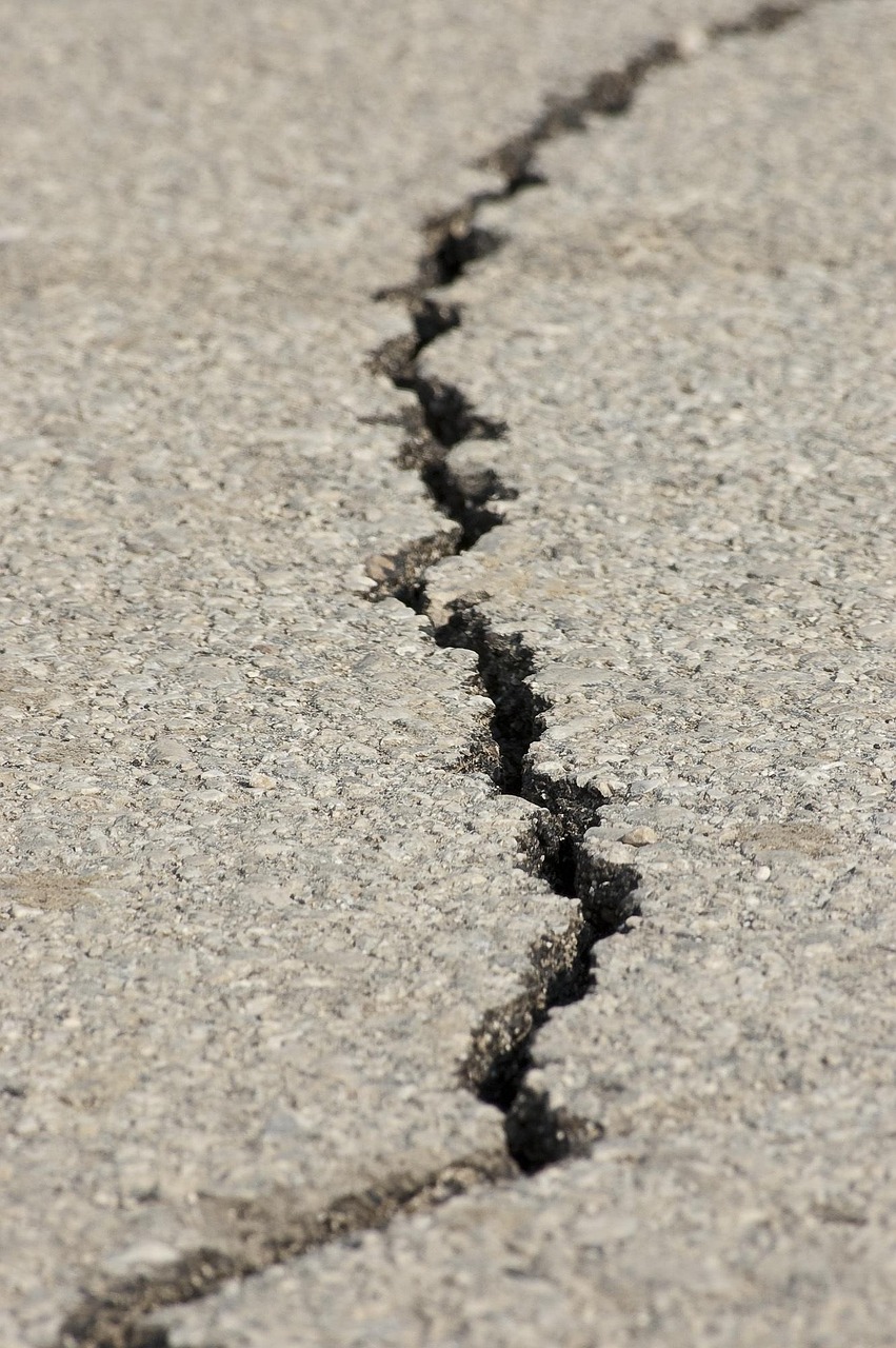
Courtesy:angelo_giordano from pixabay
A strong earthquake shook waters near southern Italy early Tuesday, sending tremors across parts of the Naples region and prompting scientists to analyze new seismic data.
The quake registered a 6.0 magnitude and occurred in the Tyrrhenian Sea, according to preliminary findings from the United States Geological Survey. While no immediate large-scale damage reports emerged in the earliest hours, the event quickly drew attention because of its proximity to populated coastal areas.
Experts say early readings may still change as seismologists gather additional data and refine their analysis.
Here are six key things to know about the earthquake near Naples.
The earthquake measured magnitude 6.0
Initial readings from the United States Geological Survey placed the earthquake at magnitude 6.0, a level strong enough to be felt widely across nearby communities.
Earthquakes at this magnitude can cause noticeable shaking and may result in damage depending on the depth of the quake and the distance from populated areas. Scientists caution that early magnitude estimates are sometimes revised as additional monitoring stations report data.
It struck in the Tyrrhenian Sea near southern Italy
The earthquake occurred in the Tyrrhenian Sea, a body of water along Italy’s western coast.
Data from seismic monitoring systems shows the epicenter was located roughly 10 miles southeast of Sant’Angelo, a coastal area near the city of Naples. The location means the shaking likely spread across parts of the surrounding coastline.
Because the quake originated offshore, some coastal communities may have experienced the tremor even if they were outside the strongest shaking zone.
The quake hit shortly after midnight local time
According to seismic data, the tremor occurred at 12:03 a.m. Central European time on Tuesday.
Late night earthquakes often catch residents off guard because people are indoors and asleep when the shaking begins. Local authorities and scientists usually monitor such events closely during the hours following the initial shock.
Emergency monitoring systems typically begin assessing possible structural impacts and public safety concerns soon after the event is recorded.
Light to moderate shaking was expected in nearby areas
Mapping data from the United States Geological Survey indicates areas experiencing a shake intensity level of 4 or higher, which is classified as light shaking on the Modified Mercalli Intensity scale.
At this level, tremors can be clearly felt indoors and sometimes outdoors, though they usually cause limited structural damage. The shaking map focuses on areas where measurable movement occurred, though residents outside those zones may still feel the earthquake.
Scientists emphasize that shaking intensity can vary depending on soil type, building structures and distance from the epicenter.
Scientists may revise the magnitude
Seismologists often continue analyzing earthquakes for hours or even days after the initial report.
As more seismic stations transmit their measurements, researchers may update both the magnitude estimate and the shaking intensity map. These revisions help produce a clearer understanding of the earthquake’s actual impact.
Updated information may also refine the exact location and depth of the quake.
Experts will monitor possible aftershocks
Following an earthquake of this magnitude, scientists typically watch for aftershocks, which are smaller quakes triggered by the shifting of tectonic plates.
When aftershock data becomes available, monitoring systems often track tremors within 100 miles of the original earthquake and over the course of several days. These smaller events can sometimes be felt in nearby communities.
Researchers say aftershock monitoring helps provide insight into how the Earth’s crust is adjusting after the initial seismic movement.
For now, scientists continue studying incoming data while authorities remain alert for any developments tied to the offshore quake near southern Italy.
Source: The New York Times, citing the United States Geological Survey.
About the Author

Praise Swint
Wpseo_editor
Praise Swint is a contributor at Revelence, covering stories across news, entertainment, and culture.