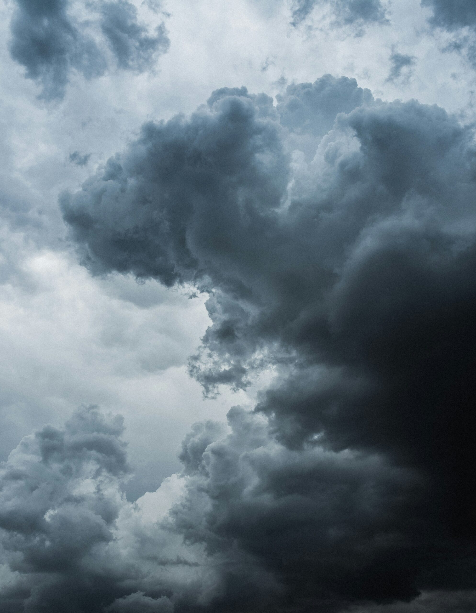
A powerful line of thunderstorms swept across Minnesota early Wednesday. The storms brought destructive winds, widespread power outages and significant tree damage. Thousands of residents woke up to fallen trees and dark homes after the severe weather moved through overnight.
The storm system crossed the state during the overnight hours. Some communities recorded wind gusts above 80 mph. Western Minnesota and the Twin Cities metro area saw some of the most significant damage.
Utility companies reported more than 70,000 customers without power around 5 a.m. Wednesday. Crews immediately began restoration work and reduced outage numbers throughout the morning.
Winds topped 80 mph across western Minnesota
The strongest wind report came from near Marietta, where a weather station recorded an 83 mph gust shortly after 1 a.m.
The National Weather Service also reported a 78 mph gust near Madison, 74 mph near Glenwood and 72 mph at Chokio. Communities including Dilworth, Sabin and Parkers Prairie recorded gusts around 62 mph.
The powerful winds snapped branches, uprooted trees and created dangerous conditions in several areas.
Falling trees damaged vehicles and blocked streets
The overnight storms left a trail of damage across Minnesota.
In St. Paul’s Cathedral Hill neighborhood, large branches and entire trees crashed onto parked vehicles. Fallen trees also blocked sections of residential streets.
Photos from the neighborhood showed vehicles buried beneath heavy branches. Cleanup crews and residents began removing debris shortly after sunrise.
Many residents reported hearing strong winds and constant lightning as the storms reached the Twin Cities around 3 a.m.
More than 70,000 customers lost power
Power outages quickly became one of the storm’s biggest impacts.
Utility providers reported more than 70,000 customers without electricity during the early morning hours. The outages affected homes, businesses and public facilities across multiple communities.
Xcel Energy prepared response crews before the storms arrived. Workers began assessing damage as soon as conditions allowed.
Officials urged residents to avoid fallen or sagging power lines. They warned that every downed wire should be treated as live and dangerous.
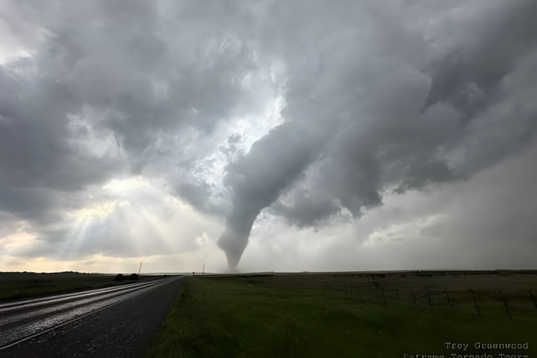
The storm system formed across the Plains
Meteorologists said the severe weather developed late Tuesday across parts of the Dakotas and Nebraska.
The storms organized into a large line before moving east. The system strengthened as it approached Minnesota and reached the Twin Cities before sunrise.
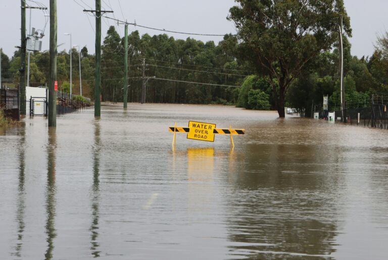
Frequent lightning lit up the sky throughout the night. Heavy rain and damaging winds followed as the storms crossed the region.
Forecasters warn more storms could develop
Weather conditions are expected to improve briefly during the middle of the day. However, forecasters warn that another round of storms could form Wednesday afternoon and evening.
A cold front is colliding with hot, humid air across the Upper Midwest. That combination could trigger additional severe thunderstorms. Eastern Minnesota and western Wisconsin face the greatest risk.
Meteorologists are urging residents to stay alert and monitor updated forecasts throughout the day.
The overnight storms highlighted how quickly severe weather can develop during the summer months. Crews continue to clear debris and restore electricity. Forecasters say residents should remain prepared because the threat of severe weather has not ended.