Courtesy:jordanholiday from unsplash

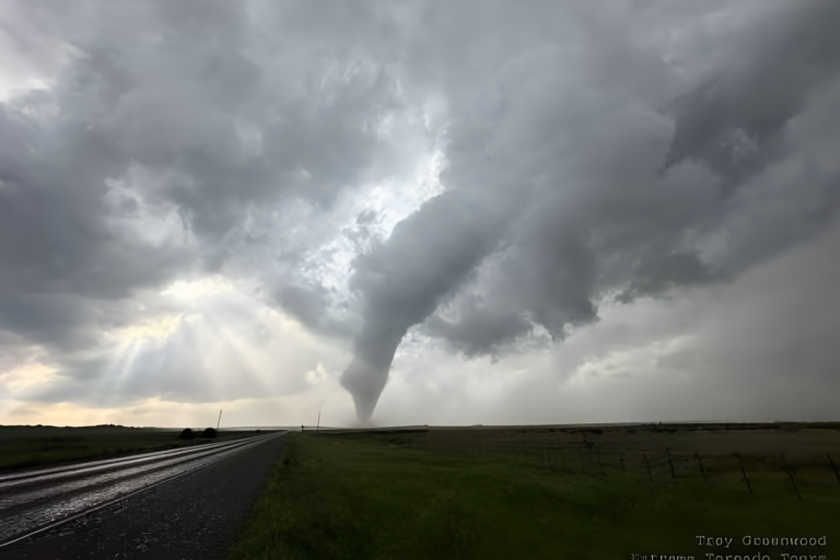
The Ozarks hail storm chaos unfolded overnight as powerful storms moved through parts of Missouri, dumping massive hail and
sparking concern across multiple communities. Residents from Lockwood to El Dorado Springs reported intense weather conditions,
with some areas seeing hailstones as large as baseballs.
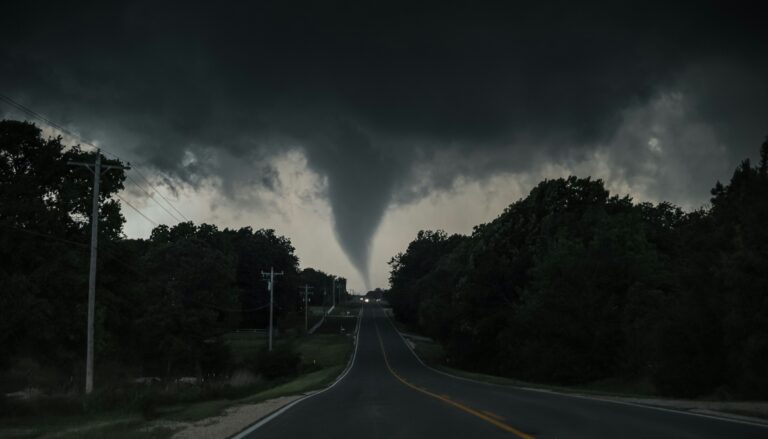
The sudden arrival of the storm system turned an otherwise calm evening into a dangerous situation, with forecasters warning that
severe weather patterns remain active across the region.
Storm chaos hits communities with massive hail
The Ozarks hail storm chaos was marked by unusually large hail that caused damage to vehicles, rooftops and outdoor property.
Reports indicate that some hailstones reached the size of baseballs, a sign of extremely strong storm updrafts.
Communities in southwestern Missouri were among the hardest hit, with storms maintaining strength as they moved across the
region. Weather alerts remained in effect as meteorologists tracked additional storm development.
For ongoing updates, readers can check official warnings from National Weather Service and storm tracking from NOAA.
Storm system brings intense overnight impact
The first wave of the Ozarks hail storm chaos developed late in the evening, quickly intensifying as it moved through populated
areas. Residents reported loud impacts from hail striking homes and vehicles, with some seeking shelter as conditions worsened.
Storm systems like this are often fueled by unstable atmospheric conditions, including warm air near the surface and strong winds
higher in the atmosphere.
Baseball size hail raises damage concerns
One of the most alarming elements of the Ozarks hail storm chaos was the size of the hail. Baseball-sized hail can cause significant
structural damage, shatter windows and dent vehicles within seconds.
Local reports suggest that multiple communities experienced this level of severity, increasing concerns about repair costs and safety risks.
Storm path stretches across multiple towns
The Ozarks hail storm chaos was not limited to a single location. The storm system traveled across several towns, impacting both
rural and residential areas.
While some regions experienced the worst of the hail, others dealt with heavy rain and strong winds. This variation highlights how
severe storms can produce different hazards across relatively short distances.
Weather alerts remain in effect
Even after the initial storms passed, weather officials warned that conditions could remain unstable. Alerts stayed active as forecasters
monitored additional storm development.
The Ozarks hail storm chaos serves as a reminder of how quickly weather conditions can change and why staying informed is
critical during severe weather events.
Readers are encouraged to follow updates through trusted sources like The Weather Channel.
Residents urged to stay prepared
Authorities continue to advise residents to remain cautious as cleanup begins. Avoiding damaged areas, checking property safely and
staying updated on forecasts are key steps following severe storms.
The Ozarks hail storm chaos also highlights the importance of preparation, including having emergency alerts enabled and
identifying safe shelter locations before storms arrive.
Aftermath and ongoing monitoring
As communities assess the damage, attention now turns to recovery and monitoring future weather patterns. The storm system may
weaken, but forecasters warn that similar conditions could develop again in the coming days.
The Ozarks hail storm chaos stands as another example of the increasing intensity of severe weather events and the need for
continued awareness.
Source: KY3 News